
Segments:
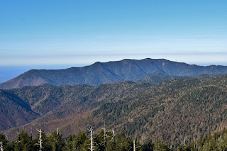
Segment 1 - Peak to Peak:
Segment 1 runs for 46.8 miles from Clingman's Dome in Great Smoky Mountains National Park to Waterrock Knob on the Blue Ridge Parkway. From Clingman's Dome, the trail follows the Appalachian Trail for a a few miles then descends through the park for the longest roadless stretch of trail to Oconaluftee Visitor Center. The trail then follows the parkway to Waterrock Knob.
Segment 2 - The Balsams:
Segment 2 runs for 63.6 miles from Waterrock Knob to Pisgah Inn. The trail follows the Blue Ridge Parkway closely for the entire segment. From Waterrock Knob, the trail descends to Balsam Gap then climbs again into the Great Balsams. Passing through Middle Prong Wilderness and Graveyard Field, the segment ends at Pisgah Inn.
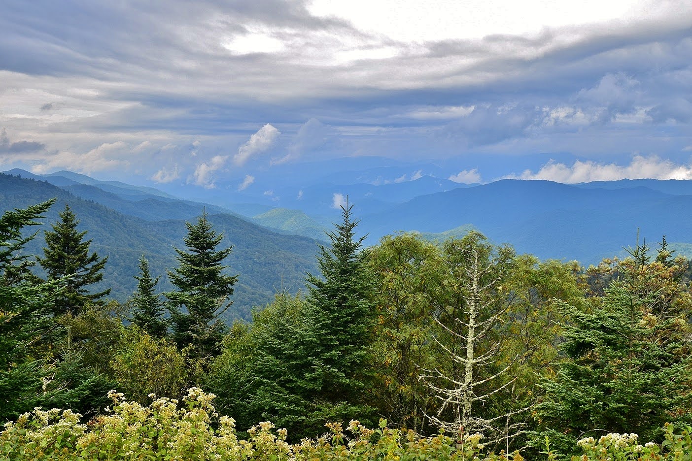
Segment 3 - The High Peaks and Asheville:
Segment 3 runs for 71.4 miles from Pisgah Inn to Black Mountain Campground. The trail follows the Blue Ridge Parkway closely for the entire segment. From Pisgah Inn, the trail runs past Mount Pisgah and follows the Shut-In Trail towards Asheville.

Running past Asheville, the trail passes the Blue Ridge Parkway Visitor Center and Folk Art Center. Heading northeast, the trail passes the ruins of Rattlesnake Lodge and Craggy Gardens before making the steep climb up Mount Mitchell, the highest point in North Carolina. From the summit, the trail descends steeply to Black Mountain Campground, the eastern trailhead for this segment.

Segment 4 - Gorges, Peaks and Waterfalls:
Segment 4 runs for 75.3 miles from Black Mountain Campground to Beacon Heights along the Blue Ridge Parkway. From Black Mountain Campground, the trail ascends to the parkway, crosses Woods Mountain and drops down into Marion. Next, the trail heads up to Linville Gorge and then passes through the Wilson Creek Area. The segment then ascends back to the parkway at Beacon Heights, the eastern terminus.

Segment 5:
Segment 5: Segment 5 runs for 90.3 miles through the High Country following the Blue Ridge Parkway from Beacon Heights to Devil's Garden.
From Beacon Heights, the MST follows the Tanawha Trail for 13 miles to Julian Price Memorial Park.

Segment 6 - The Elkin Valley:
Segment 6 runs for about 70 miles from Devils Garden Overlook on the Blue Ridge Parkway. The trail descends through Stone Mountain State Park and then follows roads towards Elkin. In town, the trail follows the Elkin & Alleghany Rail Trail. From Elkin, the trail follows roads along Yadkin River to Pilot Mountain State Park.

Segment 7 - The Sauratown Mountains:
Segment 7 runs for 35 miles from Pilot Mountain State Park to Hanging Rock State Park. The trail follows the Corridor Trail at Pilot Mountain then loops around the mountain to head east along Sauratown Trail, a private equestrian trail. The trail then leads through Hanging Rock, crossing the highest point of the Sauratown Mountains before descending to the Visitor Center and park road at the eastern terminus.

Segment 8 - Rivers, Railroads & Lakes:
Segment 8 runs for 65 miles from Hanging Rock State Park to Bryan Park in Greensboro. From Hanging Rock, the trail heads through Danbury and south into Forsyth County. The trail passes through Cascades Preserve and then follows roads to Greensboro where it follows trail through the Greensboro Watershed Lakes to the eastern trailhead at Bryan Park.

Segment 9 - Revolution & Textiles:
Segment 9 runs for 60 miles from the Triad to the Triangle through an area rich in history. From Greensboro, the trail heads east into Alamance County and follows Haw River Trail. The trail then follows roads east into Orange County and follows Hillsborough's Riverwalk and ends at Eno River State Park.
Segment 10:
Segment 10 runs for 77.6 miles along Eno River and the south shore of Falls Lake through the Research Triangle area. Starting at Eno River State Park, the MST piggybacks on the Laurel Bluffs Trail following the river downstream. Past the state park, the trail continues to follow the river through West Point on the Eno, River Forest Park and Penny's Bend Nature Preserve. The trail then follows Falls Lake Trail along the south shore of the lake, passing through Butner-Falls of Neuse Game Land. Although mostly on game land, the trail passes through portions of Falls Lake State Recreation Area and Blue Jay Point County Park. Near the eastern end, the trail passes Annie Louise Wilkerson, MD Nature Preserve. The eastern terminus of Segment 10 is at the Falls Lake Dam.

Segment 11 - Neuse River Greenways & The Let'Lones:
Segment 11 runs 65.7 miles from the Falls Lake Dam to Howell Woods, following the Neuse River much of the way. This segment follows paved greenways in the Capital Area Greenway and Clayton Greenway into Johnston County and then roads through a wide floodplain.

Segment 12 - Agricultural Heartland:
Segment 12 is 65.8 miles from Howell Woods in Johnston County to Suggs Mill Pond in Bladen County. It is primarily on paved roads and passes through agricultural land and several small towns.

Segment 13 - Carolina Bay Country:
Segment 13 is 38.9 miles through Bladen County around many of the mysterious Carolina Bay lakes. This segment runs from Suggs Mill Pond Game Land to Singletary Lake State Park. Along the way it passes Bladen Lakes State Forest, Jones Lake State Park and Turnbull Creek Educational State Forest.

Segment 14 - Land of History:
Segment 14 is about 65 miles through Bladen and Pender Counties. The trail starts at Singletary Lake State Park and heads southeast into Pender County. The trail makes a short loop through Moores Creek National Battlefield and then heads to the town of Burgaw. The end of the trail is a 4.5-mile boat ride along Northeast Cape Fear River to Holly Shelter Game Land.

Segment 15 - The Onslow Bight and Jacksonville:
Segment 15 runs for more than 90 miles from Pender to Jones County. The trail starts in Holly Shelter Game Land and then follows roads to Surf City and the beach to North Topsail. The trail then leads through Stones Creek Game Land and follows roads to Jacksonville. The trail follows the Jacksonville Greenway and then roads to the town of Stella on the White Oak River.

Segment 16 - The Croatan and Neusiok Trail:
Segment 16 is almost 70 miles, primarily through Croatan National Forest. The western trailhead is in Stella in Jones County and the trail follows through the forest on gravel roads. At the other end, the trail follows the entire Neusiok Trail to Oyster Point, the eastern trailhead.

Segment 17 - Down East North Carolina
Segment 17 runs for 48 miles through eastern Carteret County in the region known as Down East. The trail starts at Oyster Point in Croatan National Forest and follows roads through area, ending at the ferry terminal at Cedar Island National Wildlife Refuge.

Segment 18 - Outer Banks:
Segment 18 is more than 80 miles along the Outer Banks. There are two ferry rides, to Ocracoke Island and then to Hatteras Island. The trail follows the beach north through Cape Hatteras National Seashore and reaches the eastern terminus of the Mountains-to-Sea Trail at Jockey's Ridge State Park.

External Links:
Friends of the Mountains-to-Sea Trail website: https://mountainstoseatrail.org/
NC State Trails website: https://trails.nc.gov/state-trails/mountains-sea-state-trail
No comments:
Post a Comment