
Map:
Trails:
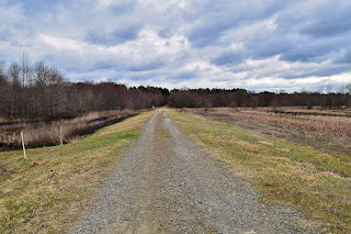
Brickhouse Road Waterfowl Impoundments:
There are several waterfowl impoundments off Brickhouse Road in Durham and Granville Counties between Flat River and Knap of Reeds Creek. Several miles of gated roads loop around the impoundments and are available for hiking.
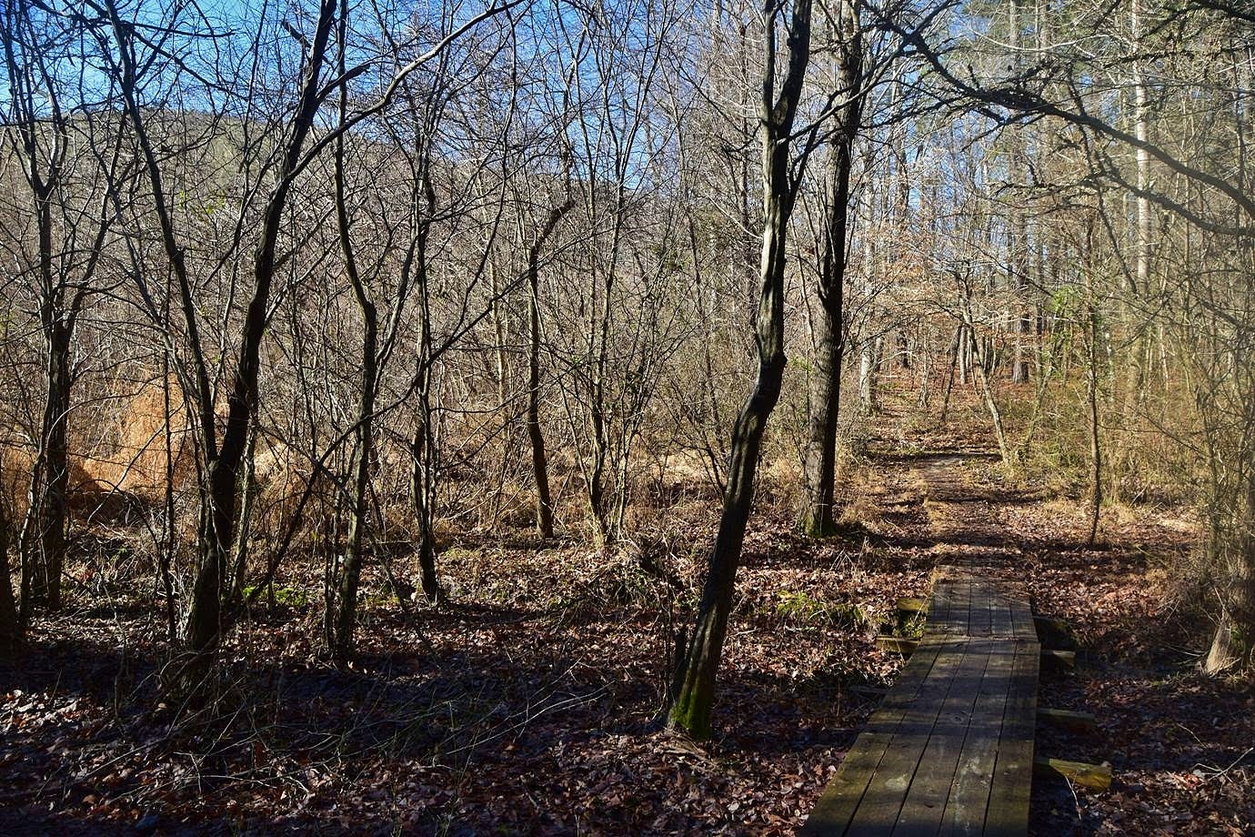
Falls Lake Trail:
The Falls Lake Trail, a part of Segment 10 of the statewide Mountains-to-Sea Trail, runs for nearly 60 miles along the south shore of Falls Lake and is the longest trail in the area. The majority of the trail runs through game land where hunting is permitted so wear blaze orange in season, though portions are in Falls Lake State Recreation Area.

Flat River Waterfowl Impoundment:
Flat River Waterfowl Impoundment is managed by the Wildlife Resource Commission as artificial wetlands to support wildlife, in particular migratory waterfowl. There are about 4 miles of gated roads around the impoundments that are open to hiking.

Honeycutt Creek Trail:
Honeycutt Creek Trail, a part of the Capital Area Greenway, runs through the game land south from Raven Ridge Road. The City provides orange vests at the trailhead for hikers to wear during hunting season.

Knap of Reeds Creek Waterfowl Impoundment:
There is a waterfowl impoundment along Knap of Reeds Creek in Granville County. A 3/4-mile gated road leads between the impoundment and creek.

New Light Mountain Bike Trails:
The New Light Mountain Bike Trail off Old Weaver Road is the only area in the Game Land where mountain biking is permitted. The trails are only open on Sundays during hunting season.

Old Creedmoor Trail:
There are a number of trails and old roads off Old Creemoor Road that loop through the area and intersect Falls Lake Trail. Bikes are NOT permitted in this area.

Hikes:
There are a number of hiking opportunities in the Game Land. See below for hikes with detailed descriptions.
- Falls Lake Trail Section 1 Hike - Leads from Falls Lake Dam to Raven Ridge Road.
- Falls Lake Trail Section 2 Hike - Section of trail between Raven Ridge Road and Possum Track Road.
- Falls Lake Trail Section 3 Hike - Follows Possum Track Road from the road's end to the causeway over Cedar Creek.
- Falls Lake Trail Section 4 Hike - Leads from Possum Track Road to Bayleaf Church Road at the Yorkshire Center.
- Falls Lake Trail Section 5 Hike - Leads from Bayleaf Church Road at the Yorkshire Center to Six Forks Road.
- Falls Lake Trail Section 7 Hike - Section of trail between Six Forks Road and NC-98, passing the Upper Barton Creek Boat Ramp.
- Falls Lake Trail Section 8 Hike - Leads from NC-98 to New Light Road, passing through Shinleaf Recreation Area.
- Falls Lake Trail Sections 9 & 10 Hike - Two trail sections that lead from New Light Road to Creedmoor Road/NC-50 at the Falls Lake Visitor Center.
- Falls Lake Trail Section 11 Hike - Long section from Creedmoor Road to Boyce Mill Road, passing by some old farm buildings from before the lake.
- Falls Lake Trail Section 12 Hike - 1.5-mile section from Boyce Mill Road to Wake Forest Highway/NC-98 at the NC-98 Waterfowl Impoundment.
- Falls Lake Trail Section 13 Hike - 3 mile section of trail from NC-98 to Baptist Road in Rolling View Recreation Area.
- Falls Lake Trail Section 14 Hike - 4 mile section of trail from Rolling View Recreation Area to the footbridge over Little Lick Creek.
- Falls Lake Trail Section 15 Hike - 4.5 mile section between Jimmy Rogers Road and Cheek Road.
- Falls Lake Trail Section 16 & 17 Hike - A 3.9-mile hike from Cheek Road to Redwood Road.
- Falls Lake Trail Section 18 & 19 Hike - 1.5-mile section between Redwood Road and East Geer Street in Durham.
- Falls Lake Trail Section 20 & 21 Hike - A 2.5 miles hike from East Geer Street to Red Mill Road in Durham.
- Falls Lake Trail Section 22 - A 4.5-mile hike from Red Mill Road at Ellerbe Creek to Red Mill Road at Eno River.
- Falls Lake Trail Section 23 - A mile hike from Red Mill Road to Old Oxford Highway.
Wildlife:
Butner-Falls of Neuse Game Land is managed for wildlife. Although the primary purpose is for hunting and fishing, it's also great for hiking and photography.
Forests:
The forests around Falls Lake support a wide diversity of wildlife. See Falls Lake Forests for more information.

Wildflowers:
A number of beautiful wildflowers bloom along the shores of Falls Lake in the spring. See Falls Lake Wildflowers for some of the many species that can be found around the lake.

Mushrooms:
After periods of rain, a lot of mushrooms can be found around Falls Lake, varying in size, shape and color. Although it's legal to pick mushrooms for personal use in state game lands, this should only be done by those with experience in positively identifying mushrooms. See Falls Lake Mushrooms for some of the mushrooms that can be found around the lake.
Invertebrates:
Spiders, insects and other invertebrates are common in the woods around Falls Lake. A furrow orb spider (Larinioides cornutus) made her web across the trail.

Reptiles and Amphibians:
American toads (Anaxyrus americanus) are common in the oak-pine woods around the lake.

Birds:
The lake and surrounding lands are excellent places for birding.
A great egret (Ardea alba) flying over the lake.

A red-tailed hawk (Buteo jamaicensis) eating a squirrel.

Blog Entries:
13-Feb-2022: Ledge Creek and Impoundments
07-Jan-2018: Frozen Falls Lake
23-Dec-2017: Redwood Road Detour
26-Feb-2017: Trout Lilies and Wildflowers
19-Feb-2017: Early Spring at Falls Lake
12-Feb-2017: Planes, Trains and Automobiles
05-Feb-2017: Prescribed Burn at Falls Lake
29-Jan-2017: Little Lick Creek
12-Apr-2014: Wildflowers in Penny's Bend
External Links:
NC Wildlife Resources Commission website: https://www.ncwildlife.org/Hunting/Where-to-Hunt/Public-Places/Piedmont-Game-Land-Maps
No comments:
Post a Comment