Saturday, July 22, 2023

Pond Mountain Views

Saturday, we headed out to the High County to beat the heat.  We drove to the extreme northwest corner of North Carolina to Pond Mountain Game Land and headed up the steep gravel road to the parking area.  Once above the trees, the views here were fantastic.


And there was no one else here, despite being a Saturday in the summer.  We hiked down the gated road that is also the horse trail.


This area was a former Christmas tree farm before it became game land.  Most of the trees had been harvested and so we had the best long range views.


The road went about a mile to a barn and a permanent gate at the summit of Pond Mountain.


There was a lot of buckwheat flowering throughout the area.


Being so open, the wildflowers were blooming through the summer.


Most of the evening primrose were closed, but I spotted one that was open.


Heading down the other side of Pond Mountain, the trail descended steeply and went through a wooded area and then another open area.  We passed a couple of the small ponds for which the mountain is named.


After passing through the open area, the trail headed back into the woods and we didn't go too far before turning around.


Back over Pond Mountain, we saw one other couple who had arrived after us.  They too remarked how spectacular the views here are.


Back at the car, we headed down the mountain and stopped in Mountain City for a quick hibachi lunch.  Then we continued towards Boone and drove up Dutch Creek Road to the end at the small parking area for Bear Paw State Natural Area.  The gated road continued up past an old cabin and continued following Dutch Creek upstream.


There were some nice wildflowers blooming along the trail despite the full canopy.


Some of the Turk's cap lilies were really big.


Near the headwaters of Dutch Creek, the trail went through an overgrown powerline clearing then got a little steep.  With flagging tape, it wasn't too hard to follow and soon go to Hanging Rock Ridge for the final climb up.  The trail ended at an overlook.


Bear Paw/Hanging Rock was difficult to see with all the foliage, but the view of Grandfather Mountain from here was great.


After a short break, we headed back down.


Some little mushrooms were sprouting from a dead tree.


Back at the car, we headed into Boone for dinner at Coyote Kitchen, which has a nice outdoor seating area for Alex.  The tacos were very filling and the pineapple-habanero salsa was delicious.  After dinner, we headed to Lenoir and checked into the hotel.  I was still full from dinner so went for a walk on the Lenoir Greenway since I could access just off the parking lot.
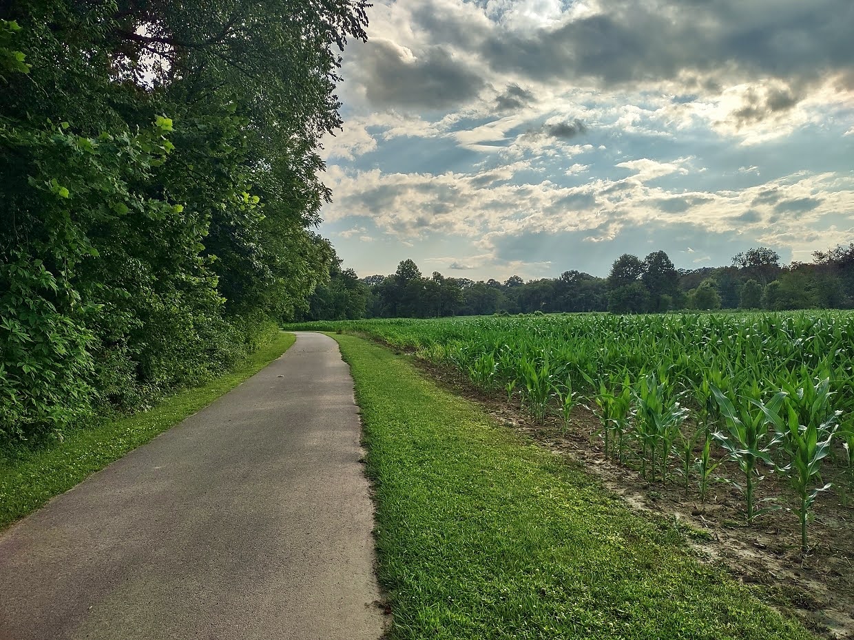

I went as far as Powell Road and turned back.

Tuesday, July 4, 2023

Bent Creek Hike on Independence Day

Monday, I checked out of the hotel and started heading east.  I drove to the Rice Pinnacle Trailhead at Bent Creek Experimental Forest and started out on Deer Lake Lodge Trail.


I then got on Wolf Branch Trail and headed up until I got to Ingles Field Gap Trail.


This trail along the upper section of the forest led about 2 miles to its namesake gap, where I got on Little Hickory Top Trail.


This trail gradually descended down into the forest.  I saw some phlox blooming.


At the end, I took a forest road to get on Boyd Branch Trail, following its namesake stream down.


A little copperhead was on the trail.


I then got on Campground Connector Trail to head towards the lake.


There was a nice spot to go out on Bent Creek here.


I then took Homestead Trail to go around the lake.  Lots of rosebay rhododendron were blooming throughout the forest.


I made a short loop on Small Creek and Deerfield Loop back to Homestead and then finished this trail out.


  Finally, I took Hardtimes Connector to head back to the parking lot and started making my way home.


Monday, July 3, 2023

Another MST Hike

Monday morning, it was raining in Maggie Valley.  I headed back up to the Blue Ridge Parkway and it was very cloudy and rainy all the way to Waterrock Knob, but cleared up a bit as I drove past.  There were nice views from View Wesner Bald.


I wasn't sure about parking at US-74, so I stopped at the Orchards Overlook to park.  There wasn't much of a view from here, but I could pick up the Mountains-to-Sea Trail.


The trail followed a gravel road for over a mile then turned on a foot trail, staying relatively parallel to the parkway.


I made a short detour on a blue-blazed spur that led to the parkway at Woodfin Cascades Overlook.


A short scramble path next to the spur led down from the parkway to the base of Upper Woodfin Cascades.


After some pictures, I got back on the MST and followed it to Fork Ridge Overlook.


From here, I started making my way back.  At the Orchards Overlook, I continued on the trail down to US-74 and then turned back.


On the way back to Maggie Valley, I made a stop at Soco Falls.


With the summer foliage, there wasn't much of a view from the overlook so I just climbed down to the base.


On the way back up, I stopped to see the upper cascades that can't be seen from the base.


I headed back to Maggie Valley.  BearWater wasn't open on Mondays, so I went to Waynesville and had dinner at Boojum in downtown.  Back at the hotel, I took advantage of the pool and hot tub before leaving.

Sunday, July 2, 2023

MST Hike to the Plott Balsams

Sunday, I had breakfast and made the short drive to Soco Gap on the Blue Ridge Parkway.


Despite the name, there is absolutely no overlook here, but it does provide access to the Mountains-to-Sea Trail, which I took eastbound.  Some fly poison was flowering along the trail.


The trail headed up parallel to the parkway but was mostly gradual.


It was a little late for wildflowers, but some fire pink were still blooming.


In about 2 miles, I crossed over Howard's Bridge across a small tributary.


There was one spot to stop and take a break with a nice view.  The overlook was boxed in by trees on the side but a nice long range view.


Soon, the trail reached Waterrock Knob and I took the trail to head up to the top.  On our last visit, it was fogged in, but today there were great views.


I had a snack up here and then started heading back.


At the visitor center, I walked down the spur road to View Browning Knob.  The plane crash was on this mountain, but had recently been removed by the park service.


Crossing the parkway, I picked up an unofficial trail that headed up Yellow Face, another 6000-foot peak in the Plott Balsams.


I made it to the top, but there was no view up here, so I turned around and started heading back.


Where the MST split from Waterrock Knob Trail to head back down the mountain, there was a nice overlook and stopped to enjoy the view.


I saw some mountain woodsorrel along the trail.


I continued past Soco Gap on the MST another mile or so.  There was some Indian pipe along the trail.


The trail eventually runs along gravel roads, so I turned around after a while and headed back to the car.


I went back to Maggie Valley and had dinner at Legends, right next to the hotel.

Saturday, July 1, 2023

AT Hike to Mount Cammerer

Saturday, I headed to the mountains solo as Sandy was unable to get away for the long weekend.  I left early and headed to the Big Creek area of Great Smoky Mountains National Park.  Despite what the website said, there are no pay stations at Big Creek to get a parking pass and I wasn't driving to Gatlinburg as suggested by the sign so I drove out and parked near I-40 and Pigeon River to access the Appalachian Trail.


The trail headed up through forest lands and then came out at Davenport Gap to enter the national park.  A short spur led to the shelter.


The trail was quite steep heading up the mountain, passing the intersection with Chestnut Branch Trail to Big Creek and then Lower Mount Cammerer Trail to Cosby.  After a grueling climb up, I reached Mount Cammerer Trail and turned to head out to the lookout.  Some red elderberry was near Shapton Gap.


The last section of trail went through an open heath area.


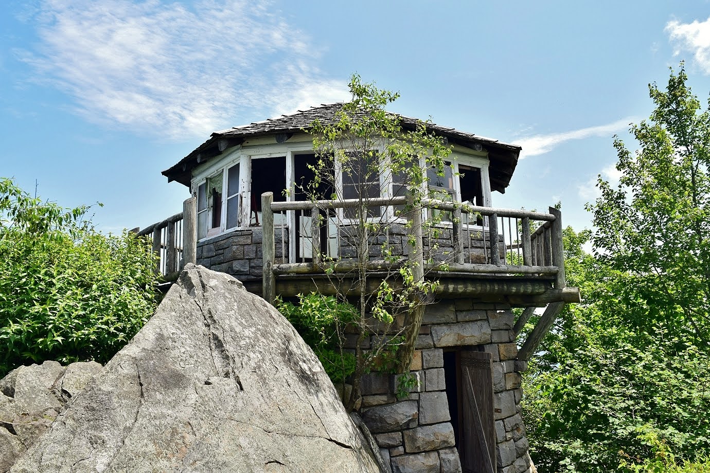
At the end, I made it to the lookout and had lunch here to take a break.


The views were great though impact from the wildfires reduced visibility.


The hike back from here was all downhill, but it was still hot and muggy.


Back at the car, I drove to Maggie Valley and checked in to the Quality Inn.  For dinner, I went to BearWaters and had the parkway burger before going to bed after a very long day.