Showing posts with label NCMST. Show all posts

Saturday, August 2, 2025

Rich Mountain Hike

Saturday, we headed to cooler weather in the mountains for Amaroq's fourth birthday.  Parts of the parkway are still closed, so we had to drive to Boone and take the alternate route to Moses Cone Memorial Park, where the carriage roads are stroller friendly.  Parking along Shulls Mill Road, we took the spur up to Rich Mountain Road in an open field.


Following the road up Rich Mountain, we passed the Mountains-to-Sea Trail as the road circled around the summit.


As it looped around, there was another open area where we could see the top despite the clouds.


The circles became tighter as we approached the summit.


A short rocky path led up to another open area at the top, where Amaroq had a snack and Harper ran around for a bit.


After a break, we started heading down.  There were some Indian pipe along the trail.


Harper was very interested in some of the cows we saw grazing along the trail, but threw a temper-tantrum when we didn't let her pet them.  We spotted some more summer wildflowers along the trail on the hike down towards Trout Lake.


Yellow false fox-glove had really pretty flowers.


Near Trout Lake, the arrowwood was producing bright red berries.


We continued around Trout Lake and headed to the Manor House before finishing our hike.


On the way home, we stopped at Booneshine for a late lunch.

Saturday, September 14, 2024

Return to Catawba Falls

Saturday, we left to take Harper for a week in the Smoky Mountains for her first birthday.  We left early and stopped on the way near Old Fort at the trailhead for Catawba Falls.  The area was closed for several years as the Forest Service was making improvements for safety and accessibility and had reopened at the beginning of the summer.  This would be our first visit since reopening.  Arriving at 8, it was raining lightly and there were only a few cars in the parking lot - a good thing we arrived early.  After getting Harper in her backpack, we set off on the Catawba Falls River Trail that mostly followed the old trail.


Soon, we came to a bridge at the ruins of an old hydroelectric building.


It used to be a rock hop across the river, but the bridge has been here for a few years.  The trail followed the river upstream with a moderate incline.  In about a mile, the trail passed Lower Catawba Falls.


Before the new trail, there was a scramble path down to the base, but that was no longer possible with the trail reroute.


We could see the upper portion of the waterfall from here, but the lower section with the small cave was not visible.  The only way down would be to backtrack to a point to get in the river and creek walk up, but weren't going to do that with a baby.  I did a quick loop on the short wildflower trail and then we continued on.


The stairs began shortly before we reached Catawba Falls and we could get out at the base.


The water level was a little low, but the waterfall was pretty in the light drizzle.


Although visible from the base, the stairs weren't as much of an eyesore as I expected.


Then we began the steep climb up the steps.  Several landings provided a view of the upper sections of the falls.


Carrying Harper, I took a few breaks to enjoy the view and catch my breath.  The old path to reach the upper falls was still visible beneath the steps.


The final part of the climb was up an observation tower that had nice views, especially from the top.


It was just a short ways further to Upper Catawba Falls.


The new viewing deck provided a nice view and we scrambled on the rocks for more pictures.


On the hike back, we took Catawba Ridge Trail to make a loop and avoid going down all those steps.  It was a bit more uphill and then started heading down.


Overall, I think they did a nice job in building the new trails and stairs.  I would prefer the wilderness experience but the area was so popular and so many incidents that something had to be done.  The parking lot was full when we got back, even with the rain, so glad we arrived early.


It was getting to be around lunch time, so we drove to Asheville and fajitas at Orales.  It was still a little early to check in, so we made a stop at the Folk Art Center along the Blue Ridge Parkway.  While Harper and Sandy browsed, I went for a hike on the 
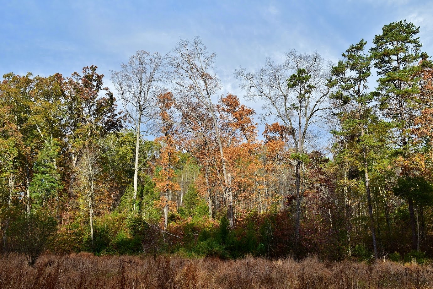
Mountains-to-Sea Trail heading south/westbound.


There were some wildflowers blooming along the roadside and in open areas, but most were non-native.


I hiked just past the tunnel under I-40 and turned around.


On the hike back, a very large black bear popped out on the trail in front of me.  He turned and ran immediately but we sure was a big boy.  Sandy and Harper were about finished up and we took off.


We drove west to Bryson City and stopped at the visitor center to get a parking pass and then checked into our little cabin.

Sunday, November 5, 2023

Bill Craft Trail Hike

Sunday, we took Harper for a hike up in Greensboro at the Richardson-Taylor Preserve.  The trail immediately passed by an unusual tree whose trunk was horizontal for a ways before turning to grow up.


Right after here, we came to a split and went right on Wetlands Loop to an overlook of the wetlands on Long Branch before it drained into Lake Townsend.


We then got back on Bill Craft Trail and soon passed the remains of an old car.  Unfortunately, it was vandalized with grafitti.


In another mile or so, a short spur led to another overlook.


The trail continued on another mile, eventually ending at the northern trailhead on Simpson-Calhoun Road.


On the hike back, I stopped for a picture of Long Branch from the bridge.


Back at the parking lot, we took the Watershed Trail Connector down to Reedy Fork Trail for a nice view of Lake Townsend.


After enjoying the view, we headed back.


On the way home, we stopped for lunch at Bright Penny in Mebane.

Sunday, July 23, 2023

Thunderhole Hike

Sunday, we had breakfast at the hotel and then headed back up towards Blowing Rock.  We took Globe Road south and then FR-4071 to the end near China Creek.  Hiking down China Creek Trail (#250), we came to Thunderhole Falls Trail (#253) in about a half-mile.  It was just a short distance to Thunderhole Falls.  The climb down was very steep and we needed to use the rope to get down.


The water level was low, but it's still a really nice waterfall.


I climbed up to the middle section for a better view of the upper drops.


The main drop is on Thunderhole Creek while the one to the side is on a small tributary.


After enjoying the falls, we climbed back up and continued down China Creek Trail.


After crossing China Creek, there were two crossings of Thunderhole Creek.  On the last, Alex took a dip and wasn't happy to have gotten his belly wet.  Shortly after, the trail climbed up above the creek and a steep scramble path led down to Lower Thunderhole Falls.


It's a small waterfall, but the pool at the base is lovely.  If it had been a little warmer, I would have taken a dip.


After climbing back up, I continued on China Creek Trail to where it ends at FR-4071 and then we hiked back.


After driving out of the forest, we got on the Blue Ridge Parkway and stopped at Raven Rocks Overlook.


We hiked a short ways eastbound on the Mountains-to-Sea Trail from here.  The trail followed the road then went in the woods for a short ways before hiking through some open fields.


Some cows were grazing in the field.


We hiked about a mile, just past Blackberry Road and turned around.


From here, we stopped for lunch at Booneshine again and then made the drive home.

Monday, July 3, 2023

Another MST Hike

Monday morning, it was raining in Maggie Valley.  I headed back up to the Blue Ridge Parkway and it was very cloudy and rainy all the way to Waterrock Knob, but cleared up a bit as I drove past.  There were nice views from View Wesner Bald.


I wasn't sure about parking at US-74, so I stopped at the Orchards Overlook to park.  There wasn't much of a view from here, but I could pick up the Mountains-to-Sea Trail.


The trail followed a gravel road for over a mile then turned on a foot trail, staying relatively parallel to the parkway.


I made a short detour on a blue-blazed spur that led to the parkway at Woodfin Cascades Overlook.


A short scramble path next to the spur led down from the parkway to the base of Upper Woodfin Cascades.


After some pictures, I got back on the MST and followed it to Fork Ridge Overlook.


From here, I started making my way back.  At the Orchards Overlook, I continued on the trail down to US-74 and then turned back.


On the way back to Maggie Valley, I made a stop at Soco Falls.


With the summer foliage, there wasn't much of a view from the overlook so I just climbed down to the base.


On the way back up, I stopped to see the upper cascades that can't be seen from the base.


I headed back to Maggie Valley.  BearWater wasn't open on Mondays, so I went to Waynesville and had dinner at Boojum in downtown.  Back at the hotel, I took advantage of the pool and hot tub before leaving.