
Map:
Trails:
China Creek Trail (#250):
China Creek Trail starts in Blowing Rock and follows China Creek downstream, crossing FR-4071 near the gate. At the confluence with Thunderhole Creek, Thunderhole Falls Trail (#253) splits. The trail continues following Thunderhole Creek downstream, ending at FR-4071 near Globe Road.
Thunderhole Falls Trail (#253):
Thunderhole Falls Trail splits from China Creek Trail (#250) near the confluence of Thunderhole and China Creek. The short trail heads upstream about 0.1 miles to Thunderhole Falls and ends above the top of the waterfall.
Points of Interest:
Lower Thunderhole Falls:
Lower Thunderhole Falls is a small waterfall with a nice swimhole.

Thunderhole Falls:
Thunderhole Falls is a cool waterfall on Thunderhole Creek just upstream of the confluence with China Creek.

Wildlife:
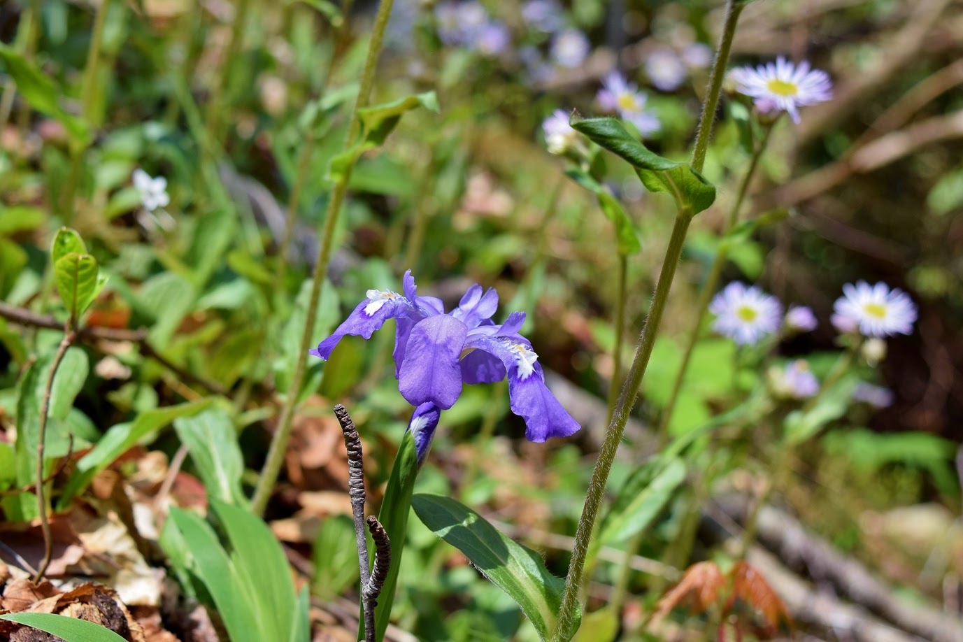
Dwarf crested iris (Iris cristata)
No comments:
Post a Comment