Sunday, we had breakfast and headed towards Ansted across the New River. We parked at the Ansted Rail Trail parking and followed Hawks Nest Rail Trail towards Hawks Nest State Park.

There were a couple spots to climb down to a scenic spot in the creek with cascading drops and enormous boulders.

In just under a mile, we came to Mill Creek Falls. A very steep scramble path led down to creek level near the base.

After climbing back up, I thought the view from the top was pretty nice too.

I think its also possible to get to this one from the road on the other side.

The creek just upstream of the falls was scenic too.

Shortly past the falls, a spur trail split off and led to the remains of an old mine.

The mine was sealed off but we could see the mine entrance and an old magazine for storing explosives.

Continuing on, the trail crossed Fox Run on another bridge.

Fox Run Falls was just upstream of the bridge, but there wasn't much to see in low water.

It looked like it would be a nice one in higher water. The trail ended at New River at the base of the tram. From here, we headed back. At the start, I followed a path on river-left side of Rich Creek, opposite the rail trail, that led to the ruins of an old mill.

To the right, I scrambled down to Westlake Falls.

Its just below the railroad trestle at the start of the rail trail.

But the view if better from the base, though the lighting was poor today.

Just a hundred feet or so in the other direction was Upper Mill Creek Falls.

The lighting was bad so I just got a couple pictures and took off.

From here, we continued to the main access for Hawks Nest State Park, where a short paved path led out to the overlook.

The views of Hawks Nest Lake and New River were great.

Then we took Cliffside Trail that headed down to Turkey Creek.
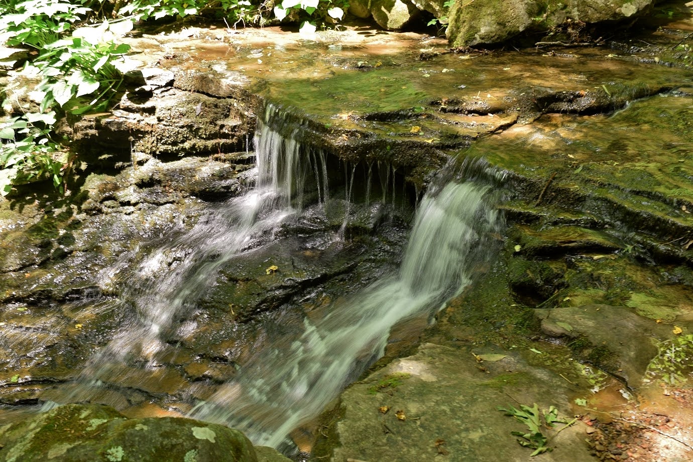
The trail follows cliffs below the overlook down to the lodge, but we only went a quarter mile or so.

Turkey Creek Falls was just off the trail but no easy way down.

I followed a steep scramble path down for some pictures.

It would have been tough to go much further down.

After some pictures, we headed back and left the park.

Continuing on US-60, we next stopped at Cathedral Falls. The parking was nearly full but we got a space. There were some nice cascades right at the start.

A short path led to the base of the beautiful 60-foot waterfall.

It was really crowded and the lighting was poor so we didn't stay long.

I didn't both trying to climb up. I think there's an upper waterfall, but it would be very difficult to reach. So we continued on another couple miles and stopped at Kanawha Falls Public Fishing Area.

Kanawha Falls is a river-wide waterfall next to an old powerhouse. A fisherman's path led up a little closer, but would need a boat for a close up view.

From here, we started heading back on US-60, making a quick stop in Gauley Bridge next to a guard rail. A steep climb up the embankment led to abandoned railroad tracks and just past that was Hidden Falls on Laurel Branch.

It was a pretty nice waterfall that I think is relatively unknown despite being very close to the popular Cathedral Falls.

We took and started heading back, stopping for dinner at Freefolk Brewery. Heading back to Beckley, we took a detour into New River Gorge National Park and stopped at Dunloup Falls.
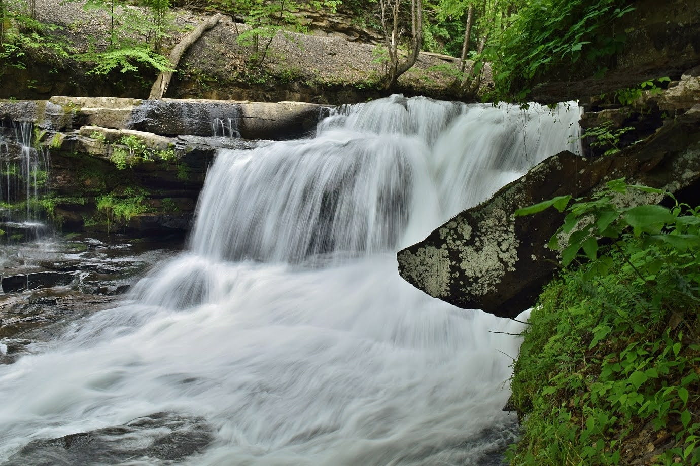
The waterfall is roadside along Thurmond Road.

I climbed down the bank to view from different angles, its quite scenic.

Then we drove another mile or so and parked where the road crosses Meadow Fork. An overgrown path led up along the creek a short ways to Meadow Fork Falls.

Its a small waterfall, but rather scenic.

After some pictures, we headed back to the hotel and started getting packed up.


