Showing posts with label Uwharrie National Forest. Show all posts

Sunday, December 13, 2020

Birkhead Mountains Long Hike

Sunday morning, I woke up just before sunrise and broke camp and left the park.  On the way home, I stopped at the Thornburg Trailhead for Birkhead Mountains Wilderness in Uwharrie National Forest, planning to hike all of the trails.  Just past the trailhead was the Lewis-Thornburg House.


There were a number of old restored farm buildings around the homestead.


The trail then headed into the woods and reached Robbins Branch Trail in just over 1.5 miles.  I went left and descended down to Robbins Branch.


In another mile, Robbins Branch Trail ended at Birkhead Mountains Trail and I went left towards the Tot Hill Trailhead.


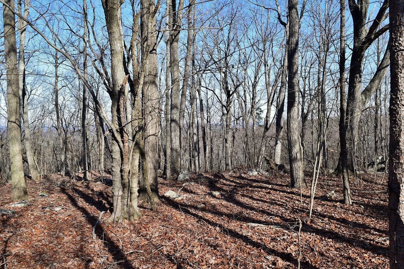
After crossing the summit of Coolers Knob Mountain, the trail descended steeply for a short section.


I turned around at Tot Hill and took the yellow-blazed Camp Three Trail on the hike back.  It made a 2-mile loop with Birkhead Mountains Trail and passed by several nice campsites.


I then got back on Birkhead Mountain Trail to Hannahs Creek Trail.  There was some holly with bright red berries along the trail.


Hannahs Creek ended at Robbins Branch Trail and I took this back to Thornburg Trail and back to the trailhead.  It turned out to be over 18 miles and I was pretty tired when I finished.  But it's only about 1.5 hours back Raleigh.

Friday, December 11, 2020

Badin Lake Hike

Friday, I headed to the Uwharrie mountains for a long weekend of hiking and camping.  Sandy had to work at the last minute I so I went out solo.  I left pretty early and arrived at Badin Lake Recreation Area in Uwharrie National Forest around 8.  I parked along the road and picked up Home Trail (#710) to Canebrake Horse Camp and then got on Josh Trail (#702).
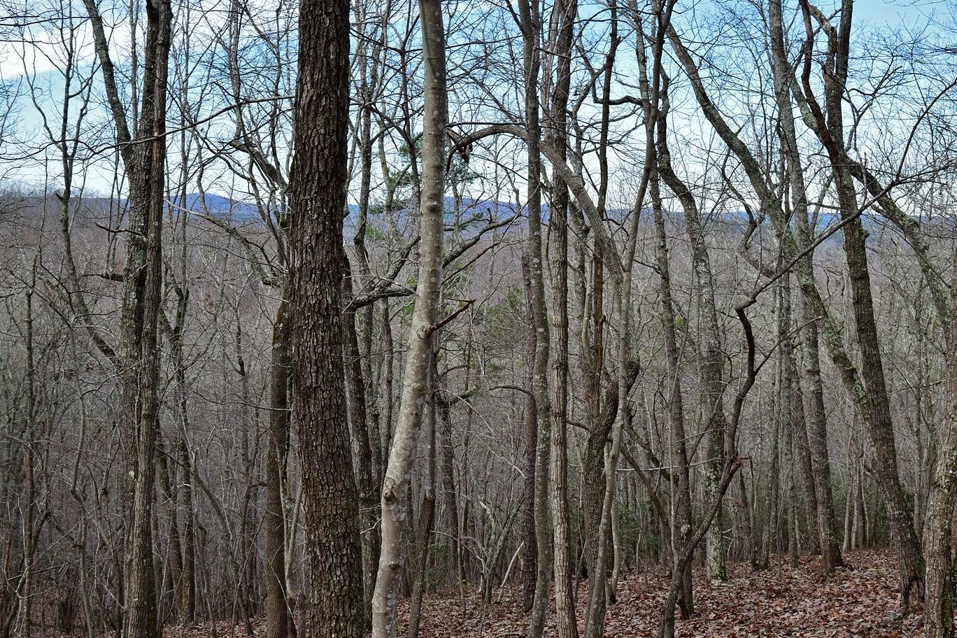

These multi-use trails were rather hard to follow for horse trails and I inadvertently got off several times.  After crossing the paved Forest Road 544 twice, I got on Blackburn Trail (#701) that made a loop, passing West Branch Moccasin Creek.


I also took Greg's Loop (#700) and found some rocks to take a break and have a snack.


Then I finished the loops up back on Josh Trail.  This trail ended near Badin Lake Trail (#94), a hiking only trail that led along the lake.


There were several really scenic spots to view the lake.  The trail passed by King's Mountain Point and Badin Lake Campground.


At the southern end, it went through Arrowhead Campground and then finished up the loop.  I took Josh Trail and Home Trail back to the start.


From here, I headed to Morrow Mountain State Park and set up camp.  It was little chilly at night, so I built a nice campfire.

Saturday, March 28, 2020

Uwharrie Social Distancing Hike

Saturday, Sandy and I took Alex for a social distancing hike along the Uwharrie Trail in Uwharrie National Forest.  We left very early to arrive around sunrise.  Passing the Pisgah Covered Bridge on the way, we made a quick stop.


It was still open and no one was there.


We got a few pictures of the bridge and then continued on to the Joe Moffitt Trailhead along King Mountain Road.  First, we hiked up to Little Long Mountain.  The open bald provides some of the best views in the Uwharrie Mountains.


No one was here yet, so we got some pictures and then headed back down.  There were a lot of rocks along the trail.


Across the street, we picked up the trail to head up towards King Mountain.  There were some birdsfoot violets blooming.


I also spotted some pinxster azaleas starting to bloom.


It was already warm and humid so the hike up was feeling strenuous.  King Mountain is the highest point on the Uwharrie Trail at 1020 feet above sea level.  Continuing on, the trail descended to a ridge and eventually came to a split, where left followed a yellow-blazed spur to Luther Parking.  We stayed on the Uwharrie Trail and followed it to Eagles Field Road.  It was really rocky as we approached the road.


This made a good turnaround point.  We saw two groups on the hike back, the only other people we saw on this stretch of trail.


Monday, January 20, 2020

Uwharrie Trail North

Monday morning, I checked out of the hotel and headed to Tower Road to pick back up on the Uwharrie Trail heading north.  This hike would more or less finish up the trail that is complete.  It was cold this morning so I bundled up.  Hiking northbound, the trail headed up the flank of Dark Mountain.  There was a rocky outcrop with decent morning views.


I then descended to the saddle below the summit of Dark Mountain.  Two guys were camping here and I chatted with them for a few minutes.  In about 2 miles, the trail crossed Flint Hill Road at the Jumping Off Rock Trailhead.  The Forest Service map of the trail currently shows it ending here.  But across the bridge on the road, the trail picked back up going north.  The trail gradually headed up then descended down to Poison Fork.


It was a rather scenic little creek with rocky banks.


It was about 2 miles from the last trailhead to the summit of Little Long Mountain.  This one is somewhat unique for the Uwharries in that it's a grassy bald.


The early morning views from here were great.  A great panoramic view from up here.


There's a shelter up here, the Eagle's Nest Shelter, and it would make a great place to camp and catch the sunset.


Continuing on, the trail headed down the mountain and crossed Thayer Road at the Jim Moffitt Trailhead.  It was about 1 mile further to the summit of King Mountain.  At over 1000 feet above sea level, it's the highest point on the Uwharrie Trail.


But it's not a bald so the views aren't the best.  At least in winter there's some view.  A little past King Mountain, I saw some beautiful ice formations along the trail.


I continued on a little further, but not sure where the trail goes from here, it ends soon I think.  Eventually, it will connect to Birkhead Mountains Wilderness.  I turned back and hiked to the car to finish up my long weekend in the Uwharries.


Sunday, January 19, 2020

Uwharrie Trail Morris Mountain

Sunday morning, I had breakfast at the hotel and then headed back to continue my hike on the Uwharrie Trail.  I parked at Yates Place Campground and took the trail north of Dusty Level Road.


In about a mile, the trail crossed Watery Branch and the rocks to hop were completely under water.  I had to bushwhack and find some logs to cross on.  It looked like the logs I crossed on were damming the creek and keeping the actual crossing underwater.  The trail followed Watery Branch downstream past some scenic cascades.


The trail climbed up from the creek for a while then went down to a crossing of Cedar Creek.


Just past here was the NC-109 Trailhead.  There was a good amount of up and down from here, eventually descending to Spencer Creek.


More people were camping down here.  After crossing the creek on a footbridge, there was a particularly steep climb.  The trail continued on and there were some nice winter views.


Eventually, the trail passes by Horse Mountain and I bushwhacked up to the top, though the view was no better than from the trail.


I went as far as Tower Road and turned back.  The sun was out for the hike back.  Near the end, the Watery Branch had gone down and I could cross on the rocks.


When I made it back to the car, I drove back to Albemarle and had fajitas for dinner at El Ranchito and then went to bed at the hotel.

Saturday, January 18, 2020

Uwharrie-Dutchmans Creek Loop

Saturday, I headed to Uwharrie National Forest for some hiking over the long weekend.  Sandy had to work so I headed out solo.  I left around 630 and got to the trailhead along NC 24/27 for the Uwharrie National Recreation Trail.  After getting my stuff together, I headed off on the white-blazed Uwharrie Trail.  Although it's in the Piedmont, there was a lot of up and down along the trail.


The trail dipped down to cross Wood Run then started climbing again.


After circling a knob, the trail descended to cross Upper Wood Run, then climbed up the summit of Dennis Mountain.


The top was forested but there were pretty nice winter views.  Then another steep descent to Big Island Creek.


After about 6 miles, the trail intersected Dutchman's Creek Trail.  There was a gradual descent to the upper portion of Dutchmans Creek where a large group of scouts were camping.  From the intersection, it was about 3 miles to Yates Place Campground, my turnaround point.  On the way back, I took Dutchman's Creek Trail to make a loop.  The trail descended towards its namesake.  There was a small cascade on a tributary.


The trail followed the creek for a while.


After crossing Dutchman's Creek a couple times, the trail ascended up Lick Mountain.


Again, it was forested but there were good winter views.


At one point along the trail, I could see Lake Tillery and Morrow Mountain across the lake.


After about 5 miles, Dutchman's Creek intersected Uwharrie Trail.  It was still a long hike back and it started to rain slightly, but nothing heavy.  When I finally got back to the car, the rain had stopped.


I drove to Albemarle and checked into the Sleep Inn and had pizza for dinner at PizzAntic.  With over 20 miles hiked, I certainly did sleep well.

Saturday, May 19, 2018

Morrow Mountain Peaks

Saturday, Sandy had the day off so we took Alex to Morrow Mountain State Park for a couple hikes.  It rained quite a bit on the way down, but died down when we crossed the bridge into Stanly County.  We first parked at the visitor center to get a stamp for Alex's passport.


From here, we followed the Morrow Mountain Trail south towards the park's namesake.  It wasn't particularly hot, but very humid and steamy.  In about 2 miles, the trail got real steep as we headed up Morrow Mountain and approached the road.  This trail then ended and we went right on Mountain Loop Trail.  Soon we made it to the overlook at the summit.


We stopped for a bit as there was a nice breeze up here.  Then we continued on the loop trail around the summit of the mountain.  Some open spots along the trail made for great views of the surrounding countryside.


After finishing the loop, we followed Morrow Mountain Trail back down the mountain and returned to the parking area.  Continuing through the park, we stopped at the boathouse parking for another hike.  At the far end of the parking lot, we picked up Fall Mountain Trail.  The trail starts out along following the shoreline of Yadkin River just upstream of the confluence with Uwharrie River.


Views of the river were very pretty and some mountain laurel were blooming.  After following the river for a while, it crosses a tributary and begins following it upstream and away from the river.  There were some spiderwort blooming along the trail here.


The trail got steeper and eventually a series of switchbacks led up to the summit of Fall Mountain.  Unlike Morrow, it was completely forested and there were no views with the foliage out.  Alex was getting hot so we took a break up here and then headed back down the mountain.


Leaving the park, we wanted to make one more stop on the way home so headed to Badin Lake Recreation Area in Uwharrie National Forest, just across the river.  We followed FR-576 for about 7 miles to where it crossed a small tributary.  Parking just after crossing, we followed a path down to a campsite and then to a nice overlook of Yadkin River between the dams.


The tributary we had crossed makes a small waterfall in two sections here and we scrambled down to a spot at the top of the lower main section.


It was good to come here after the recent rains as this tributary is very small.  The upper section is a rocky 10 foot drop.


The lower section is maybe 20 feet but I'm not sure how to view is well except by boat.


I climbed as far down as I could to get a view from the side but couldn't get any further down.


After some pictures, we headed back and made the drive home.  We stopped at Cook Out for dinner and Alex got a hot dog.