
I then descended to the saddle below the summit of Dark Mountain. Two guys were camping here and I chatted with them for a few minutes. In about 2 miles, the trail crossed Flint Hill Road at the Jumping Off Rock Trailhead. The Forest Service map of the trail currently shows it ending here. But across the bridge on the road, the trail picked back up going north. The trail gradually headed up then descended down to Poison Fork.

It was a rather scenic little creek with rocky banks.

It was about 2 miles from the last trailhead to the summit of Little Long Mountain. This one is somewhat unique for the Uwharries in that it's a grassy bald.

The early morning views from here were great. A great panoramic view from up here.

There's a shelter up here, the Eagle's Nest Shelter, and it would make a great place to camp and catch the sunset.

Continuing on, the trail headed down the mountain and crossed Thayer Road at the Jim Moffitt Trailhead. It was about 1 mile further to the summit of King Mountain. At over 1000 feet above sea level, it's the highest point on the Uwharrie Trail.
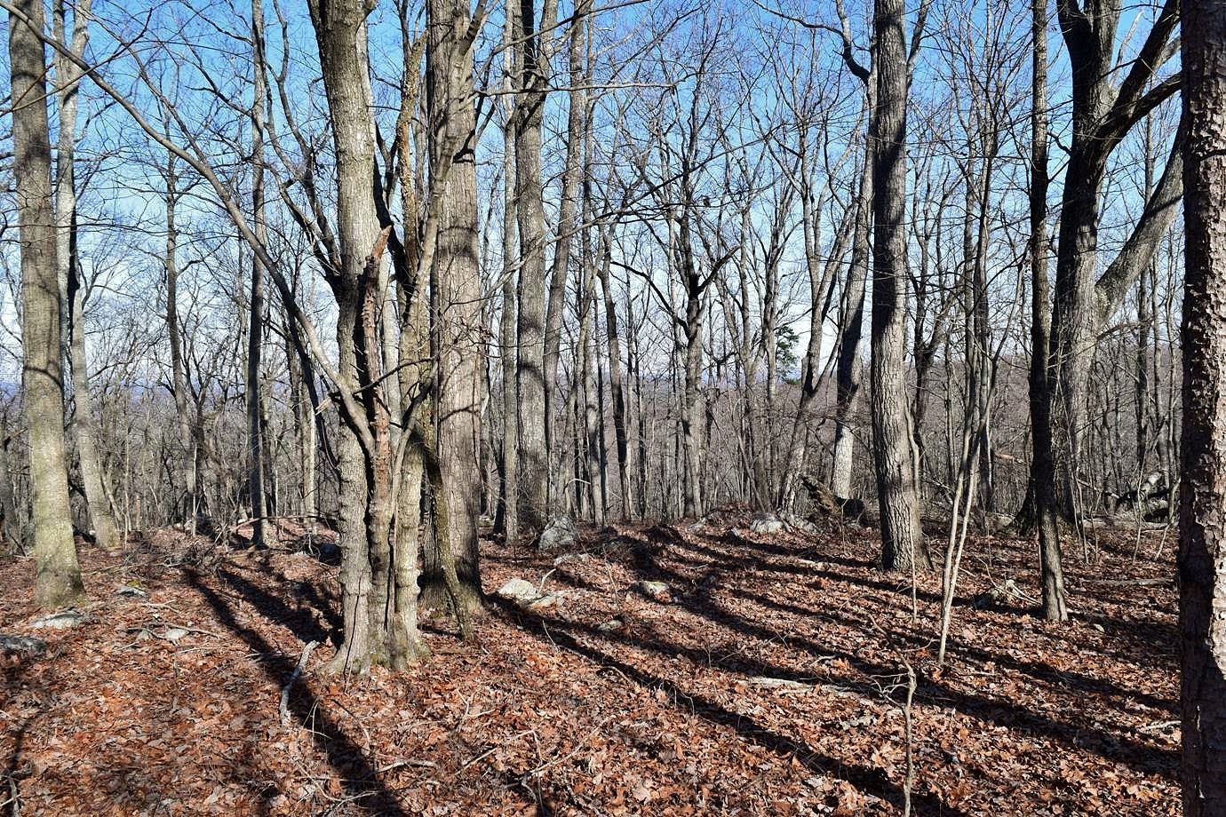
But it's not a bald so the views aren't the best. At least in winter there's some view. A little past King Mountain, I saw some beautiful ice formations along the trail.

I continued on a little further, but not sure where the trail goes from here, it ends soon I think. Eventually, it will connect to Birkhead Mountains Wilderness. I turned back and hiked to the car to finish up my long weekend in the Uwharries.

No comments:
Post a Comment