Saturday, January 16, 2021

Bay Tree Lake

For the holiday weekend, we took Alex out to the Bladen Lakes area for a weekend of hiking and camping around the Carolina Bays.  Our first stop was at Harmony Hall Plantation in White Oak for hike #28, Old Cape Fear Countryside, on the Mountains-to-Sea Trail 40 Hike Challenge with Alex.


Harmony Hall is one of the oldest residences in North Carolina, built before the Revolutionary War.


The house itself is only open limited hours, but there are several other historical old buildings on the property.


The chapel and small bell tower were particularly pretty.


Most of these buildings were from elsewhere in the area and moved here to be incorporated in the historical site.  The Brisson-Guyton Cabin looked like it had seen better days.


The last building as we got to the road was the General Store, also only open with limited hours.


At this point, we turned right to hike down River Road going east.  At NC-53, we turned left.


Out turnaround point was at the White Oak Post Office at Gum Spring Road.


Mountains-to-Sea Trail continues along this road towards Suggs Mill Pond, but this was the end of the Old Cape Fear Countryside hike.


From here, we drove to Bay Tree Lake State Natural Area, a satellite of Singletary Lake State Park.  A small parking area was along NC-41 and there were several miles of trails around the preserve.


There's no map available, but the trails make a big loop around the park.  I realized about half way through that the trails would not lead out to the lake.  So we followed a sandy 4WD road down to a spot going out to the lake, though it was partly flooded.


I bushwhacked to find a view of the lake but it wasn't the greatest.


We continued on the sandy roads a little further and found a much nicer spot with a little beach.


There were great views of the lake and it made a perfect spot to have lunch.


After a break, we headed back to the trails and continued hiking through the pine forest.


Near the end was a split and we went right.  This was just a connector and bisected the loop trail, so we took the 4WD road back to the trailhead.


From here, we headed into Elizabethtown and got carryout dinner from China Hibachi and headed to Jones Lake State Park.  We had dinner and set up camp then went for a short evening hike.  Access to the fishing pier was difficult due to flooding by I found a way.


There were nice views of the lake and I figured this would make a nice spot for sunset.


We continued along Bay Trail for a while and had to maneuver around a couple flooded spots.  In about a mile, the Mountains-to-Sea Trail split to the left into Bladen Lakes State Forest along JC Butler Trail.


We went a short ways then made our way back.  Right at sunset I went back out on the fishing pier for a sunset view over the lake.


Then we headed back to camp.


It was a beautiful but chilly evening.


We made a big fire to stay warm and then went to bed.

Sunday, January 3, 2021

White Cliffs and Falls

Sunday, we packed up and said good-bye to Colin and began making our way home.  Heading east, we took US-64 through the Cullasaja Gorge.  There were no cars at the parking for Dry Falls, so we made a quick stop.  After paying the fee, we stopped at the accessible overlook first.


Then we took the paved Dry Falls Trail (#9) down to the waterfall.


It was really flowing today in the high water and we walked all around it.


It was definitely not so dry behind the falls today.  I got a video from behind the veil.


More people started showing up so we took off.


Our next stop was just past Highlands at Whiteside Mountain.  After parking, we got on the Whiteside Mountain Trail (#70) and went right at the split to go up the steep part.  Soon we made it to the top and were treated to fantastic views.


From here, the trail led along the top of the mountain with great views to the south and east.


The Chattooga River Valley was below.  This mountain lies along the continental divide with waters to the north and west draining into Little Tennessee River.


About half way long the trail, there was an interesting depression in the rock that resembled a crater.


It was a really nice trail with lots of views.  Fencing along the cliff edge was erected for safety.  Fortunately, Alex has no interest in going near the edge.


At the north end of the trail, we had one last view looking towards Cashiers.


Then it was a gentle descent on an old road back to the parking area.


We had one last stop to make on our way home at Whitewater Falls Recreation Area.  Walking through the parking area, there was a nice view of Lake Jocassee across the state line in South Carolina.


A paved path led to the upper overlook for Upper Whitewater Falls, claimed to be the highest waterfall in the east, though that is debatable.


Stairs led down to the overlook with the best views of the falls.


After some pictures, we continued down to the Foothills Trail and turned left to descend steeply towards the river.  Along the way, there were several spots on the trail with an obscured view of Corbin Creek Falls.  There would be no view at all in the summer.


As we got closer to the river, we could see the big metal footbridge across Whitewater River.


When we reached the river, there was a ladder and we realized Alex couldn't get up to the bridge.  So we took turns crossing.


Across the river, we could see Upper Whitewater Falls, but it was mostly blocked by foliage and there would be no easy way to go upstream.


After crossing, the trail soon crossed Corbin Creek on a small footbridge.  Corbin Creek Falls was immediately upstream.


The view wasn't great so I crossed and followed a scramble path up along the river left side.


I got as far as the main drop of the lower section of the falls, but it would have been difficult to go further and Sandy was waiting with Alex.

I got some pictures and then headed back, waiting with Alex while Sandy visited the waterfall.  Then we started hiking back up.  When we got back to the viewing deck for Upper Whitewater Falls, there was a rainbow.


We got some pictures then headed back to the car.


It was a bit of a drive to get home from here.

Saturday, January 2, 2021

Wayah Bald

Saturday, it had dried out so after breakfast, we took Alex for a hike on the Appalachian Trail.  We drove up Wayah Road to Wayah Gap.  Right before, we stopped at Berties Falls.


This waterfall on the headwaters of Wayah Creek is marked on the topo map, but its very small and overgrown.  And there was probably only much water flow due to yesterday's storm.


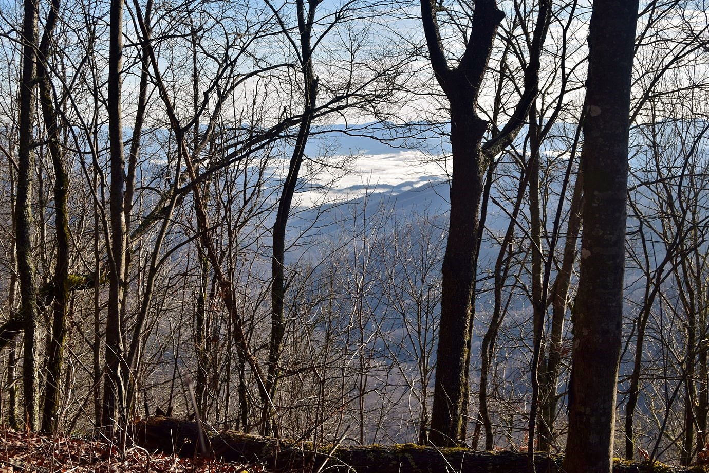
Right past here, we parked at Wayah Gap and started hiking the AT northbound to Wayah Bald.  Although the views were somewhat blocked, there was a nice view from the trail looking down towards Franklin under the clouds.


We also spotted some leafy brain fungus growing along here.


In about 2.5 miles, the trail met up with Bartram Trail for a short ways.  A spur led up to Wine Spring Bald.  There's a communication tower here, but no views.  Continuing on, it was about another mile or so to Wayah Bald and the lookout tower.


There's parking up here, but we enjoyed the hike up.  From the top of the lookout tower, we had great panoramic views.


We had lunch up here and enjoyed the clear weather.


Soon, more people showed up, so we started making our way back down the mountain.


Heading back to Franklin, we made a stop at the Wallace Branch Trailhead for Bartram Trail just west of town.  It was a just a short ways to a footbridge over a tributary at the base of Ray Cove Falls.


It was a really scenic waterfall, especially for how easy the hike was.


We stopped here for a few minutes to enjoy the falls and get some pictures.


Continuing on the Bartram Trail, we followed Wallace Branch upstream, passing the falls.  There were some nice cascades up here.


Turning around, we could see Wallace Branch Falls from the trail, but the view was not great.  We scrambled down to the upper portion first.


A little further down, we could see more of the falls, but there was nowhere for a good view.


Near Ray Cove Falls, an old overgrown road split from the trail.  Taking this, we could make it to the base of the falls, but the view wasn't great here either.


I don't think there's anywhere to get a good view of this one.  So we headed back.


It was our last night in Franklin so we stopped at Currahee Brewing one last time.  Then started getting our stuff packed up to head home in the morning.

Friday, January 1, 2021

Rainy First Day Hike

It was very rainy on New Years Day.  Sandy and Alex wanted to relax and stay dry so after breakfast, I headed to Winding Stair Gap along US-64 for a first day hike on the Appalachian Trail.  The rain was very light when I first started.  Hiking northbound, the trail crossed Moore Creek on a footbridge below a small waterfall.


It would be nice if there wasn't so much clutter.  The trail continued up and passed a couple campsites.  In about 2 miles, I came to Panther Gap, though there wasn't much of a view though.


In around 4 miles, I came to a split with Silers Bald Shelter Trail (#373) and went down to the shelter as the rain was picking up.


It got pretty heavy for a while.  I made a loop but didn't bother going up to the top, since there would be no views.  So I just headed back down in the heavy rain.


I headed back and dried off and we watched a movie with Colin in the evening.