Hike Length: 2 miles
Estimated Time: 2 hours
Difficulty: Moderate
Location: Pisgah Ranger District of Pisgah National Forest
Trail Users: Hiking
Dogs: Must be on a leash
Features: Waterfalls (2)
Crowds: Low
Warnings: The rocks around the waterfalls are very slippery. There is no good place to view the falls.
Trailhead GPS: 35.02908,-83.01603
Waterfall GPS: 35.03420,-83.01244
Directions:
From Brevard, head west on US-64 for about 18 miles. After passing Lake Toxaway, turn left on NC-281 south. Drive 8.6 miles and turn left into Whitewater Falls Recreation Area and park. There is a nominal fee to access, payable at self serve kiosks.
Map:
Hike Description:
From the parking area, follow the paved Whitewater Falls Trail to the first overlook then descend the stairs to the second overlook for Upper Whitewater Falls.
From here, descend to the Foothills Trail and go left to keep switchbacking down. In winter, there a views of Corbin Creek Falls along the trail. This gives a good idea of just how big the waterfall is.
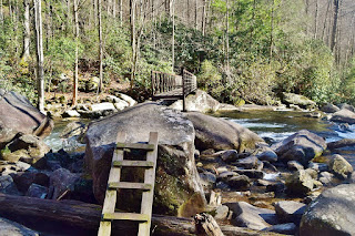
The trail continues going down to Whitewater River and crosses on a footbridge.
In another 0.1 miles, there is a small footbridge over Corbin Creek. The waterfall is immediately upstream, but this is only the very lower portion.
Blog Entries:
03-Jan-2021: White Cliffs and Falls
External Links:
US Forest Service website: https://www.fs.usda.gov/detail/nfsnc/specialplaces/?cid=stelprdb5188436


No comments:
Post a Comment