Saturday morning, we woke up early, had breakfast and departed camp. We headed north for about a mile to Burrell’s Ford Road (FSR-708). In about 2.5 miles, we pulled over at a pull-off and started our first of many hikes for the day. We made the short hike to
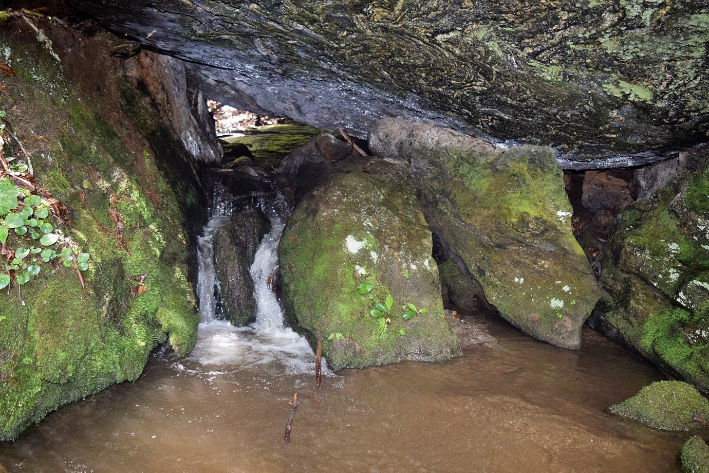
Spoonauger Falls.
Unfortunately, this one is pretty pitiful in the low water, despite the rains the night before. After a couple of quick pictures, we headed back to the car and drove just a short ways back up FSR-708. There’s a large parking area for Burrells Ford campground where we parked. We hiked down the gravel road to the campground and then took the trail towards King Creek Falls. Initially, the trail follows the Foothills Trail to a bridge over King Creek. Across the bridge, the trails split. We went left to follow the trail upstream to
King Creek Falls.
It’s a beautiful 75-foot waterfall and still looked good even in the low water. We crossed the logs at the base and got some pictures from the sandy beach.
There were a lot of nice wildflowers blooming around the base of the waterfall as well as a cairn in the shallow water.
We got some pictures here and then started heading back. Back at the car, we got on SC-107 south and past the campground, turned left on Winding Stairs Road, a steep and winding gravel road. At the end, we turned right on Jumping Branch Road and then right on FSR-715A. This turn can be tricky to find as it’s not on most maps or GPS. In about three-quarters of a mile, we pulled into a parking area just before the bridge over Tamassee Creek and got ready for our next hike. Lee Falls is a really beautiful waterfall, but a bit tough to find as there’s no trail. Once we were ready, we started hiking through the field past the gate. The last time I was here, it was raining, but today we had rather nice weather. So it was very pleasant hiking through the fields where wildflowers were in full bloom and a large number of butterflies were fluttering about.
We also saw a number of honey bees collecting nectar from the flowers.
We also saw some species of Physalis, which produces the most interesting "lanterns" to protect their fruit as it develops.
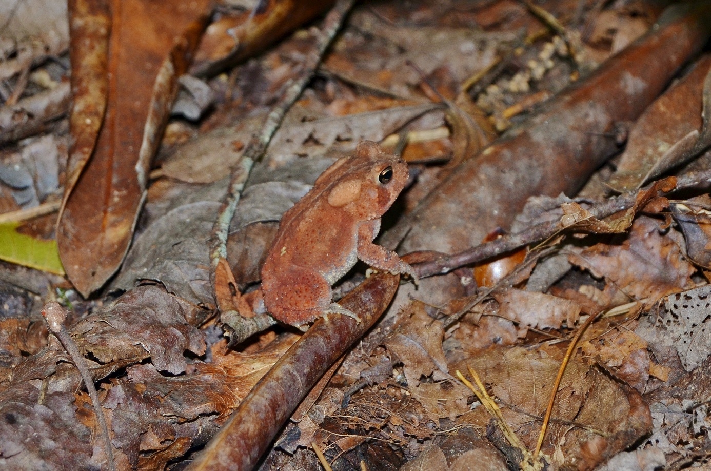
Across the first field, we had to rock hop across the creek and came to the second field. This one has two sections and after the second section, we crossed another creek and came to the third field. The last time I was here, the water level was way up and we had to wade across, but it was low enough today that we could rock hop. After this crossing, the path headed into the woods and continued following Tamassee Creek upstream towards the waterfall. We saw a cute little orange toad right along the path through the woods.
It’s not too bad until about a mile from the trailhead. We had to cross a small tributary and then head upstream. There’s not much of a trail at this point and it’s quite steep and rocky; at one point we were in a narrow strip of rocks and dirt in the middle of the creek. There were a couple parts with a rather treacherous scramble up wet rocks, but soon we made it to the base of Lee Falls.
Again, the water level was low, but this is still a very nice waterfall. It really reminds of something you might see in a tropical rainforest.
We got some pictures here and had a snack then made our way back. From here, we made a short drive to Oconee Station Road and parked at the trailhead for Station Cove Falls. The small parking area was almost full, but we were able to get the last parking space. This is an easy waterfall to get and so quite popular. We hiked along the Palmetto Trail towards Oconee State Park, seeing some pretty coral fungi growing near a footbridge.
In about a half-mile, we reached the spur trail to Station Cove Falls. Some brilliantly orange Jack-o-Lantern mushrooms were growing around a tree near the turn.
It was a short way on the spur trail to the waterfall. This waterfall looked a little pitiful in the low water and there were a lot of people here, so we didn’t spend too long.
Surprisingly, we actually had cell signal here. Back at the car, we continued south to get on SC-28 and headed to Yellow Branch Picnic Area. After parking, we got on Yellow Branch Falls Trail. This is a really pleasant trail, about 1.5 miles to the waterfall. Yellow Branch Falls was one of my favorite waterfalls in South Carolina.
In high water levels, it is absolutely beautiful – it feels like a magical place. But even today, in lower water levels, it was still quite pretty and the setting still had a magical feel.
Sandy and I climbed around on the rocks and got pictures of the waterfall from different points. Unfortunately, we didn’t see the cute little salamanders all around the waterfall that I had seen previously.
As more people started to arrive, we made our way back.
Our last waterfall of the day was just across the street. We pulled into Stumphouse Tunnel and paid at the self-serve kiosk, then parked at Issaqueena Falls. There were a lot of people here. We didn’t bother stopping at the overlook, because the view of the falls is poor. Instead, we scrambled down to the base for a better view. It was so crowded here that we actually had to stand in line to scramble down to the base. Like a few others this weekend, the waterfall was pretty pitiful at such low water levels. I climbed over to the left side where there was the most water flow for a picture of the falls.

Then we headed back up and departed. For dinner, we headed into Walhalla and had Mexican at Puerto Nuevo and then started heading back towards camp. Driving north on SC-107, we passed Oconee State Park and saw a sign for waterfalls after that. We had over an hour until sunset, so figured we’d try to get one more in. We turned on left on Village Creek Road and then right on Nicholson Ford Road (FSR-775) and drove about 2 miles to a parking area on the right. We parked here and took the short connector trail to the Foothills Trail then started hiking towards Chattooga River. In about a half-mile or so, we came to another parking area at the end of FSR-775 – apparently we should have driven a little further and parked here. We hiked for another half-mile or so and turned at the sign for Licklog Falls. It was just a small 10-foot cascade that looked like it needed some more water. I did some research later on and realized this was in fact Pigpen Falls, not Licklog Falls.

Licklog Falls was just another quarter-mile down the trail. But we were running very short on daylight, so we turned back. At the parking area, we hiked the forest road back to our car as this was quicker than taking the Foothills Trail. We then headed back to camp, took showers, and enjoyed a campfire with our friends who had been in Southern Nantahala Wilderness for the day.