Friday, we headed north for a long weekend of hiking, camping and wine with Alex in the Virginia Blue Ridge mountains. Our first stop was at Natural Bridge State Park. Formerly a private attraction, the Natural Bridge became a state park in 2016. Parking at the visitor center, we hiked down towards the creek, passing some scenic cascades on a little tributary.

The moss and vegetation was very lush. At the bottom, we paid admission and hiked down the Cedar Creek Trail.

Almost immediately, we came to the natural bridge.

At 215 feet high, it was really spectacular.

US Highway 11 runs right over the bridge and Cedar Creek runs under.

We got some pictures and continued on the scenic trail.

The Monocan Indian exhibit was closed, so we crossed the low water bridge on the trail.

Just past the crossing, another bridge crossed the creek.

This one led to the saltpeter cave; Thomas Jefferson leased for the production of gunpowder.


Lots of goldenrod and asters adding a splash of color.

Just off the trail was the Lost River. Workers from the saltpeter mine discovered the underground river, but the source and destination has never been determined.


It's a small but scenic waterfall in a very pretty setting. We sat here for a while and enjoyed the view before heading back.

Passing back under the Natural Bridge, we returned to the visitor center.

Before leaving the park, we made the short drive to the Blue Ridge Trailhead further down US-11. This loop trail runs through meadows and forest and was much less crowded than Cedar Creek.

We didn't see anyone else on our hike. The open meadows along the trail were very scenic.

There was a lot of golden aster flowering.

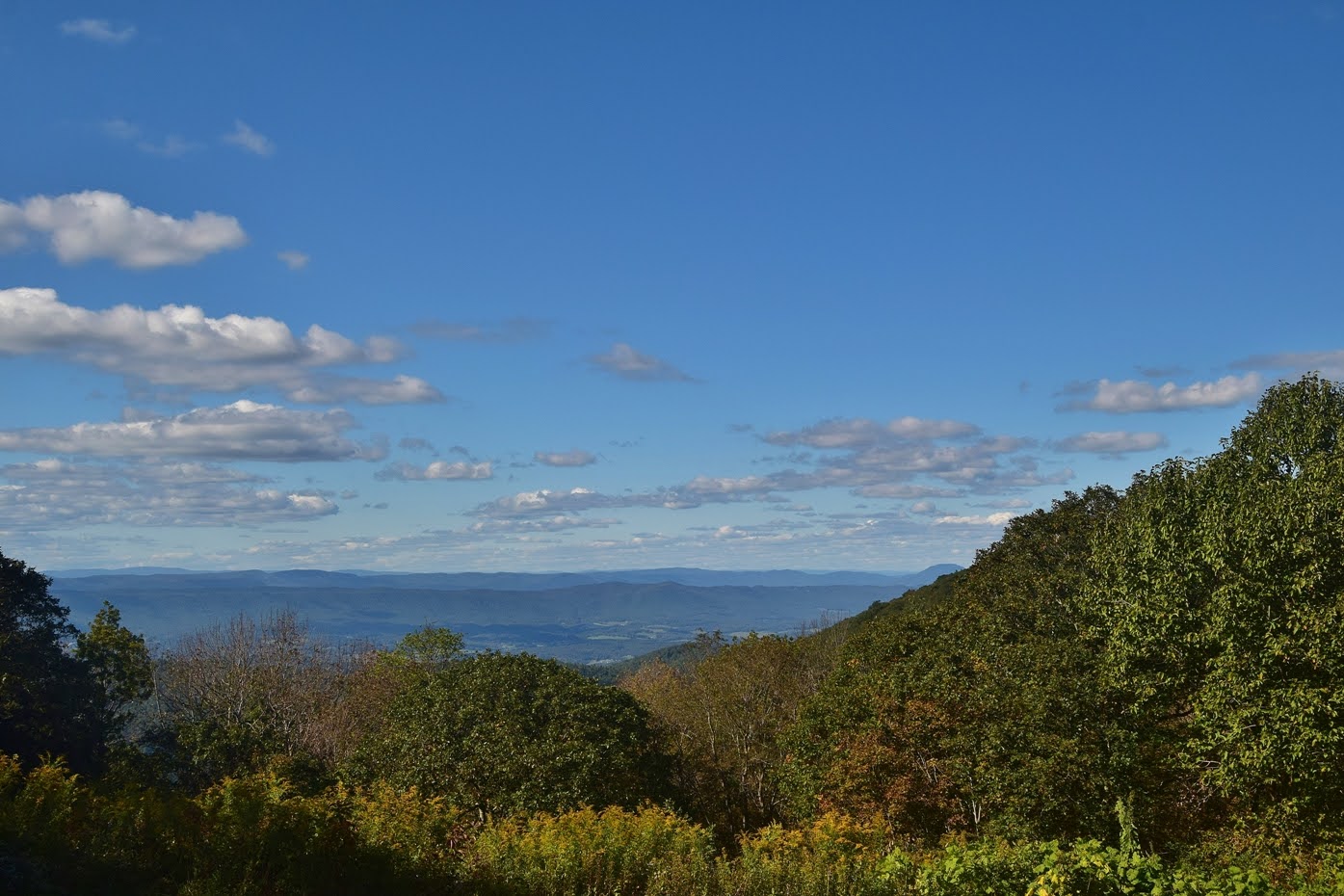
About half-way through the loop was Red Knob Overlook, the highest point in the park.

The view was mostly overgrown. Further on the trail, we passed by Lace Falls and Cedar Creek but high above.

By the time we finished, we were getting hungry. We called in for a pizza at Scotto's in Glasgow and took it to Great Valley Farm Brewery and Winery and ate our pizza with some delicious beer and wine. The views here were really great. After lunch, we headed up to the Blue Ridge Parkway and stopped at Sunset Fields Overlook.
We hiked down Apple Orchard Falls Trail (#17) in Jefferson National Forest. In about a mile, there is a really nice drop on Apple Orchard Creek just above the main waterfall.

This could be considered the upper section of the falls.

From here, the trail got steeper as it descended along the waterfall. At one point, there was a break in the trees with a nice view of the surrounding landscape.


The water level was pretty high and the leaves were just starting to turn.

I continued down the trail a little further. There are a few more drops down here, but nothing big.

We took a break down here and then headed back up. Along the way, we saw a woolly bear caterpillar, signalling the start of autumn.


We made one stop along the parkway for evening views at View Black Rock Hill.

Then drove the rest of the way to camp at Peaks of Otter. We set up and built a nice campfire as the temperature was really dropping. Alex didn't seem to mind.
No comments:
Post a Comment