Sunday, February 28, 2021

Little River Falls

Sunday, we checked out and headed back for one more hike at South Mountains State Park.  We parked at the Hidden Cove Trailhead just past the visitor center.  The trail headed under the road bridge then paralleled the road above.


It dipped in and out of several coves along the way.


There was a very interesting tree along the trail.


At the end, we turned on Turkey Ridge Trail and followed this to Little River Trail.  After crossing a tributary of Little River on a bridge, we got off the trail and found a path that had a winter view of Little River Falls.


At this point, we bushwhacked down towards the base.  It was open at first, but then had to crawl through dense rhododendron to reach the creek.  A huge boulder blocked the view and the left side of the boulder was covered in rhododendron.  Wading around the right side, I was able to get a decent view of the falls.


It's a nice waterfall, but the top is always partially blocked by rhododendron.


After some pictures, we headed back up and continued on Little River Trail, which changed to Upper CCC Trail.  In about a half-mile, we turned right on Sawtooth Trail and descended to a crossing just above Little River Tributary Waterfall.


It was tricky crossing to get to the other side and climb down for a view.


Then we started making our way back.


Saturday, February 27, 2021

Big Bear Falls

Saturday, we had breakfast and headed to the main entrance for South Mountains State Park to check out the park's new waterfall.  Hiking down High Shoals Falls Loop, we came to Big Bear Trail right before the bridge over Shinny Creek.  It was just a short hike to Big Bear Falls on Shinny Creek.


It's a small waterfall, but very scenic with the huge rocks all around.


There were some nice cascades downstream.


Then we headed back to High Shoals Falls Loop Trail.  A fishing access was just below some nice cascades on Jacob Fork.


At the split, we went left on the loop and passed by the Hugo Rockslide, where part of the mountain washed away during the high winds and rain from Hurricane Hugo.


Soon, the trail crossed Jacob Fork below some scenic cascades that could be considered the lowest part of the waterfall.


With the high water, Jacob Fork was really flowing and all these little cascades were really beautiful.


Climbing up the many stairs, the creek was really raging.  We made it to High Shoals Falls, but it was hard to get a picture with all the mist.


I climbed down below the main viewing deck, but it got harder to see through the fog.


There were some nice cascades above the waterfall as well.


Continuing up, we turned left on Upper Falls Trail and crossed the river.  In high water, the ford was quite difficult and Sandy got her feet wet.  Upper Falls Trail ended and Raven Rock Trail and we went right.  It was still really foggy up here.


Everything was coated in mist and the drops on the end of pine needles were really cool.


There were some reindeer lichen growing here.


Raven Rock Trail eventually came out on a paved road and we followed that past Dogwood Stamp Mountain.  In about a mile, we turned on Fox Trail.  Right near the start was a little picnic area and we stopped for lunch.


Although cloudy up to this point, the clouds started to break while we were eating and we got a pretty nice view.  The trail dropped down and crossed the Nettle Branch at a bridge and then climbed back up.  At Jacob Branch, we turned right and gradually descended to cross the upper portion of Jacob Fork on a bridge.


The trail then climbed back up to Upper Falls Trail.


We took a right and started hiking back towards the start.  In winter, there were a few nice views from the trail.


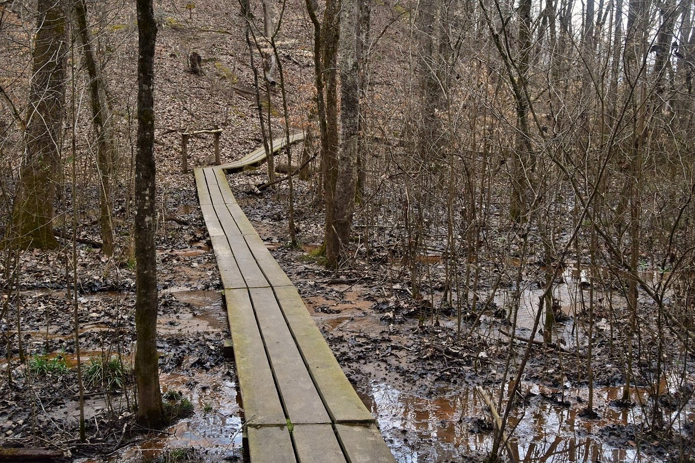
At High Shoals Falls Loop Trail, we turned left and descended back towards the start.  A short detour on Hemlock Nature Trail led along Jacob Fork River back.


The trail ended back at the parking lot.


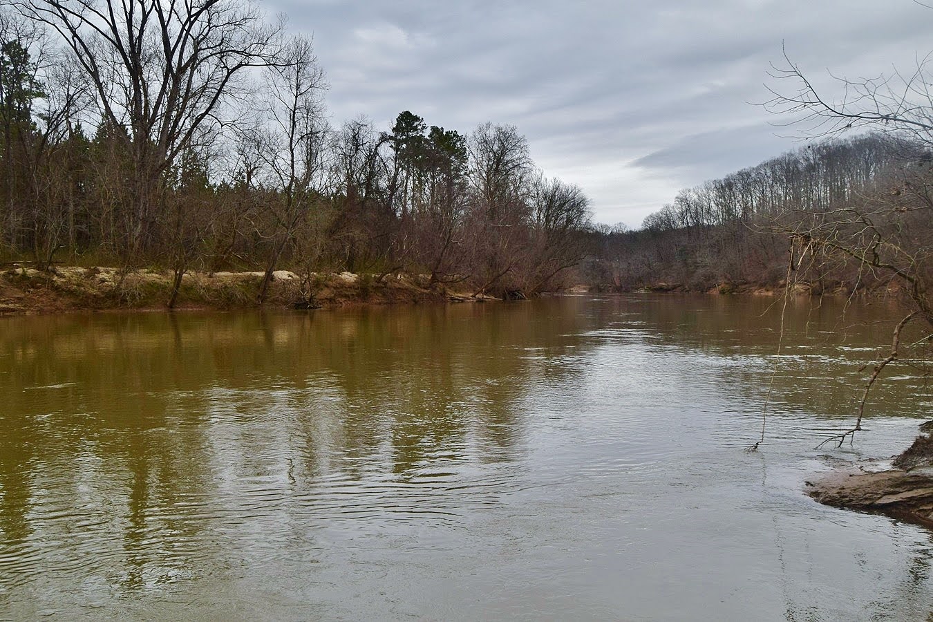
Leaving the main area of the park, we stopped at Clear Creek Access again.


It wasn't raining today and we could enjoy our visit a little more.  We hiked up to the lake to take the Lake View Trail around it.


About half-way around the lake was Clear Creek Lake Waterfall.


It's a small waterfall, but made a nice break spot to sit enjoy the sound of falling water.


The trail finished up around the lake back near the parking area.  After finishing our hike, we headed into Morganton.


We got a pizza from Moondog and ate at Catawba Brewing with Alex.

Friday, February 26, 2021

Boone's Cave

Friday, we took Alex out to the mountains for a long weekend.  To break up the drive, we first stopped at Boone's Cave Park near Lexington.  Formerly a state park, it is now a Davidson County Park.  We first took the steps down to the river.


Boone's Cave was right at the base of the stairs - there are actually three caves.


Only one was really big enough to go and only a short ways.


The others would have required crawling.  Just across from the caves, Baptism Rock provided nice views of the Yadkin River.


We then took Backcountry Trail around the northern part of the park and made a detour to the overlook.  The view was blocked by trees, but in winter we could at least see the river.


The trail ended back at the park entrance road and we picked up Boone's Peak Trail.  Although short, it was more strenuous than the other trails.  


Creekside Loop Trail splits off to follow a small stream upstream.  The trail wasn't a loop though.


Boone's Peak Trail ended at the Dragonfly Boardwalk.


At Wilderness Walk, we got on Red Oak Trail.


A large red oak, more than 200 years old, was at the end of a spur, right next to an open field.


We also took Cottonwood Trail out to a big cottonwood trail along the river.


There was a nice view of the river here.


We took Cottonwood Trail back to the cave and took the Kayak & Canoe Trail back up.  The ruins of an old CCC cabin was right near the top.


We finished up our hike before there was any rain, but our luck wouldn't last much longer.


From here, we continued west to South Mountains Game Land and parked in the Golden Valley area.


It has started to rain at this point, so we donned water shoes.  It was just a half-mile on an old road to the top of Pot Branch Falls.


With wet rocks, it was difficult to get out to a good position for a picture.


The rain didn't help and I'm extra cautious at this one after seeing a young lady slip and fall off the top.


I went all the way to the base and waded the creek but there was nowhere I could find without rhododendron in the way.


We got some pictures and then we headed back.


Our last stop was the Clear Creek entrance to South Mountains State Park.  We hiked the Clear Creek Trail, but it was raining heavily so we didn't finish.


After checking into the Comfort Inn, we got barbecue from Butch's and had dinner at the hotel.