Saturday morning, we had breakfast at camp and then headed to the Cold Mountain section of
Panthertown Valley in
Nantahala National Forest. The parking area was almost full but we found a spot. We took Mac's Gap Trail down to Greenland Creek Trail and followed that up to
Greenland Creek Falls.
The waterfall was really pretty in the early morning light.
A lot of mountain laurel were blooming around the falls and along Greenland Creek here.
After some pictures, we followed a steep unofficial trail up alongside the waterfall and continued following Greenland Creek upstream. It was about 3/4 of a mile to
Carlton Falls.
At the base, we had to wade to the other side for a good view.
There was a really cool cave to the side to get a side view of the falls, the Burnt Kitchen I presume.
There wasn't a good view of the upper section from here though, so we continued up the trail. The rocks along the side were dry enough to go out and get a nice view of the upper section.
A lot of mountain laurel blooming here too.
We waited for a bit up here and our patience paid off when a cloud covered the sun briefly for a good picture.
After some pictures, we headed back down past Greenland Creek Falls and stayed on Greenland Creek Trail. Where it left the creek to head up to the parking, we got on the unofficial trail that follows the creek closely. First we came to
Mac's Falls.
Mountain laurel and rhododendron were blooming around the falls and there was a beautiful reflection in the pool.
Looking downstream, we could see the top of Potholes Falls. We continued on the trail and found a spot to get out for a view of the waterfall. Potholes in the rock made it easy to walk out for a view.
Right past here, were heard some falling water just off the trail. A very small tributary made a cute little waterfall in front of a rock overhang.
Continuing down the trail, there was another nice drop on Greenland Creek Trail a little further down.
There were more cascades a little drops on the creek as we continued down.
This was definitely the scenic route to take though a little more difficult than an official trail.
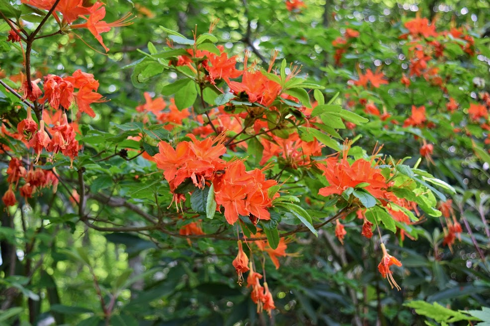
Soon, the trail came out beside Schoolhouse Falls, but it was really crowded so we continued to Panthertown Valley Trail and got on Devil's Elbow Trail. In about half a mile, the trail went through a powerline clearing. There were some beautiful flame azaleas blooming here.
After crossing Little Green Creek, there were some fire pink blooming.
At the next intersection, we went left on Riding Ford Trail and descended to the ford in about 0.1 miles.
From here, we went left through a campsite to
Jawbone Falls.
There was a lot of mountain laurel blooming around the falls and the pool was very scenic.
On the way back, we saw (and smelled) a lot of galax.
Back at the ford, we found a scramble path down to the base of Riding Ford Falls.
There were some rocks to climb around on for a nice view of the falls.
At the bend in the river, there was a rock overhang with some beautiful rocks.
Then we headed back to Devil's Elbow Trail to continue. In about 0.3 miles, we turned left on an unofficial trail and then left at the next fork. This trail came out at
Elbow Falls, but the lighting was poor so we didn't stay long. There were some nice cascades in the river just downstream.
Heading downstream, we soon came to Red Butt Falls. A scramble path led to the big rocks at the base.
There was a cool rock overhang here where the river made a sharp turn.
On the hike back, some clouds had rolled in so we stopped back at Elbow Falls since its on the way and took a break.
It's a small waterfall, but I thought it was really scenic surrounded in mountain laurel.
There was some cool potholes in the rock.
A fallen tree on the rock here made a nice seat to enjoy the view of the waterfall and cascades downstream.
After our break, we started heading back. Near the powerline clearing, we stopped for a beautiful view of Panthertown Valley.
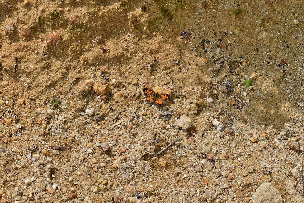
There were a lot of butterflies here.
A spicebush swallowtail was collecting nectar from a flame azalea.
At the end of the trail, we turned right on Panthertown Valley and an immediate left on Little Green Creek heading over boardwalks.
Just past here, we came to the to
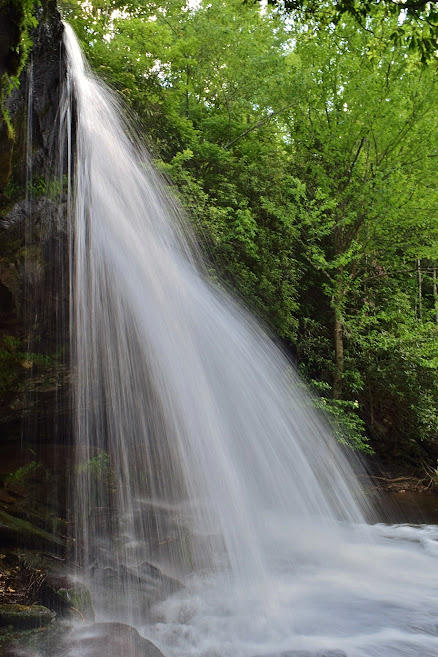
Schoolhouse Falls.
It was less crowded by now. I waded across the pool and went behind the waterfall for some pictures.
It's a really scenic waterfall and easy to visit so very popular. Then we finished up our hike by taking Panthertown Valley Trail back to the parking area.
We stopped in Rosman and got a pizza to bring back to camp for dinner.