Showing posts with label Black Mountains. Show all posts

Sunday, July 5, 2020

Black Mountains Waterfalls

Sunday morning, we woke up early and broke camp and departed Hot Springs.  We drove up into Tennessee and then back into North Carolina on US-19W.  Just a mile or two across the state line, we made a stop to see Big Creek Falls.  It's essentially roadside, but hard to see through the foliage.  A scramble path led to a big rock with a nice frontal view.


I then climbed down to the creek for a view from the base.


The pool looked very inviting and I bet it would make an excellent swimhole.


It was a really scenic waterfall for being right along the side of the road.  Continuing on, we drove through Burnsville and took NC-80 towards the Black Mountains.  We took a short detour on Whiteoak Creek Road and followed to the end.  Whiteoak Creek Falls was just ahead.  First, we scrambled down to the base.


Back at the road, we found another path to get down to the middle section.


A little further up was another path down to the upper section.


It's not possible to see the entire thing from any one spot, but a nice waterfall nonetheless.


The light was poor unfortunately.  After some pictures, we headed back.


Our next stop was the trailhead for Roaring Fork Falls at the Busick Work Center in the Black Mountain-South Toe River Area of Pisgah National Forest.  There were quite a few cars in the parking area and we got the last spot.  Hiking down the Roaring Fork Falls Trail (#195), we saw several groups coming back.


There were some old concrete structures, maybe magazines to store explosives.


Where the road crossed Roaring Fork, we took the path up to the base of Roaring Fork Falls as the last group was leaving.


We got the waterfall to ourselves.  I scrambled around on the rocks to get some pictures.  It's a really beautiful waterfall.


We had lunch here as a few more groups arrived and then headed back to the car.


From here, we drove to our last hike at the South Toe Trailhead Parking just outside Black Mountain Campground.  We hiked into the campground and got on the combined trail heading upstream on South Toe River.  At the second split, we took a right on Setrock Creek Falls Trail (#197) and made the short hike to Setrock Creek Falls.


The water level was up and the lighting was good so I could finally get a decent picture of the waterfall.


Then we hiked back down the trail and went right towards Briar Bottom Campground.  Past the campground, we took River Loop Trail (#200) and continued following the river upstream.


Some self-heal, a medicinal plant, were flowering along the trail.


Near the halfway point, we had to rock hop across Camp Creek.


Wild bergamot was flowering all around.


Shortly after, the trail crossed the river on FR-472.


Across the river, the trail headed downstream on the opposite side climbing up a ridge above the river.  Some rosebay rhododendron was blooming.


Before we left, I took a short hike around the Devil's Den Nature Trail (#192).


I spotted some Japanese meadowsweet, an invasive species.


Then we started making our way home.


Driving down from the parkway on NC-80, we pulled off at Buck Creek Falls.


It's on private property but it's visible from the road.  The view isn't great unfortunately as its mostly blocked by foliage.


From here, it was about another 3 hours to get home.

Sunday, October 11, 2015

Mt. Mitchell & Blue Ridge Parkway

Sunday morning, I checked out of the hotel early and got on the road. I was in Asheville when the sun rose and from there, got back on the Blue Ridge Parkway heading northbound.


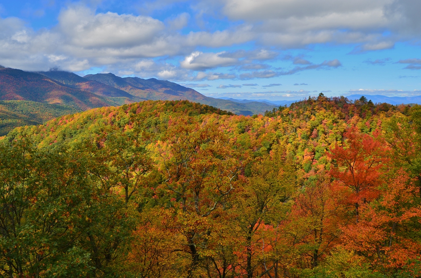
I stopped at a couple overlooks for views of the fall foliage, before heading into the clouds where visibility dropped to zero. At lower elevations, I was below the clouds so still had good views. I stopped quickly at Tanbark Ridge Overlook with nice views of the clouds lingering in the valleys.


Then I stopped a couple miles ahead at View Lane Pinnacle.


After leaving here, I drove into the clouds and there were no more views to see. I stopped at the Glassmine Falls overlook, but I couldn’t see a thing. So I continued on to Mount Mitchell State Park.


Driving up NC-128, I finally broke through the clouds and got some clear skies. Ironically, the clouds were hovering at about the elevation that deciduous trees reach, so only evergreen trees were visible – no fall foliage. I parked up at the top and made a quick hike up the tower at the summit of Mount Mitchell.


Way up here, the skies were clear. All around were low-lying clouds blocking out views of the land, except for where the Black Mountains poked up through.


I thought that they looked like islands emerging from a sea of clouds. I got some pictures and then headed back down to the parking lot and started hiking the Deep Gap Trail, which becomes the Black Mountain Crest Trail when it leaves the park and heads into Pisgah National Forest.


This trail follows the crest of the Black Mountains for about 10 miles; I was only going to hike for an hour or so, however. The trail initially descends fairly steeply heading down to the saddle between Mount Mitchell and Mount Craig and then starts heading back up. The rocky summit of Mount Craig is marked as an environmentally-sensitive area and so hikers are asked to stay on the trail through this section.


I was still able to get a nice view looking back towards Mount Mitchell as well as looking ahead along the ridge line.


Then I started to descend again. Shortly, I had to go back up to get to the summit of Big Tom, the next Black Mountain peak. There was a plaque at the summit, but no good views due to all the spruce and fir trees. From here, the trail started to get more difficult. The descent from the summit of Big Tom was quite steep and rocky and those rocks were wet from all the rain we had gotten. There were some ropes at various points to assist in descending through the most difficult portions.


There was another saddle area and then I started heading up to the summit of Balsam Cone. There was no plaque here and I was unable to find a survey marker, though I was sure I made it to the summit. From here, I decided to turn back. Upon reaching the saddle between Big Tom and Balsam Cone, I turned left to get on Big Tom Gap Trail (#191A). This extremely steep trail headed down and terminated at Buncombe Horse Range Trail (#191). At this point, I turned right and followed the trail along the flank of the Black Mountains. Initially, the visibility was pretty good but I hiked through a couple sections where the clouds rolled in and visibility was poor. The trail was very wet and swampy and I got pretty muddy hiking this trail. There were a couple of points where small waterfalls were tumbling down from the high peaks above.


I imagine that these only exist after periods of heavy rain. In about 3 miles, I met up with the Mount Mitchell Trail (#190). I turned right here and made the steep climb back up to the summit of Mount Mitchell, gaining over 1000 more feet before making it back to the summit. Near the top, I turned right on Balsam Nature Trail and took that back to the parking area. Although I was just one of only a few cars in the parking lot when I arrived, it was now nearly full. Before I left, I headed back up to the tower at the summit for views after the clouds had broken.


What a difference a couple hours makes. Far to the north, I could see Grandfather Mountain rising above the other peaks.


From here, I departed and headed back down the mountain. At the base, I turned right on Blue Ridge Parkway and headed back to Glassmine Falls Overlook, hoping the clouds had cleared.


And sure enough, they had. Glassmine Falls is probably the highest waterfall in North Carolina, 800 feet according to the sign at the overlook, but it usually doesn’t have much flow, especially in the fall. Today, after all the rains, it was looking pretty good.


And with the beautiful fall foliage, it was quite a sight. After a couple of pictures, I headed north on the Blue Ridge Parkway, stopping at a couple more scenic overlook on the way. First, I stopped at Ridge Junction Overlook near the turn for NC-128 with nice views of Potato Knob.


The next stop was at Green Knob Overlook.


Then, I stopped at Laurel Knob Overlook.


Finally, one more stop at Hewat Overlook.


From here, I could see the Black Mountains across a valley, though the summits were shrouded in clouds. The fall color here was just fantastic.


Continuing on, I turned on NC-80 and headed down the mountain towards Marion. I went north on US-221 and turned on Huskins Branch Road for one more waterfall. It’s less than half a mile to Toms Creek Falls, a scenic 60-foot waterfall. They must not have gotten as much rain down here as the waterfall was not flowing as much as I expected.


But it was still pretty. The old mica mine that used to be next to the falls appears to have caved in and the Forest Service has placed signs warning people of the danger. The area was pretty crowded so after a couple pictures, I headed back and made my way home.

Monday, September 1, 2014

Labor Day Waterfalls

Monday morning, we woke up and broke camp. After breakfast, we got on the Blue Ridge Parkway from NC-181 and starting heading southbound towards Crabtree Falls.


About half-way there, we made a quick stop for pictures from Heffner Gap Overlook and then proceeded to Crabtree Falls. Sadly, the campground was closed as well as all the other amenities, likely due to budget cuts. It's a shame as this is a really nice campground and a beautiful area. We parked outside the gate near the closed visitor center and had to hike in to the trailhead. The extra quarter-mile walk to the trailhead was worth it, though, as we walked through a beautiful wildflower meadow just past the amphitheater heading to the campground.


At the campground, we got on the Crabtree Falls Trail and turned right at the junction to hike the loop in the counterclockwise direction. This is the shorter and steeper route to the falls with the more gradual hike back to finish up the loop. The trail heads steeply down to the base of the falls through a number of switchbacks and stairs. We headed down quickly, passing several groups so we could make it to the falls before anyone else. That gave me a good opportunity to climb up on the rocks and set up the tripod to get some nice pictures of the waterfall before the crowds arrived.


This 70-foot cascading waterfall is absolutely beautiful; certainly one of the most photogenic waterfalls along the parking and I was able to get some great pictures.


Sandy was waiting on a bench and talked to a nice older gentleman who was visiting the falls while his wife was out of town. She thought the hike was too strenuous and didn’t approve of him going, so he waited for her to go out of town before visiting.


Once the crowds started to arrive and we had gotten enough pictures, we continued on, climbing more stairs and then headed upstream along Crabtree Creek. I stopped at one point to scramble down to the creek and see a really pretty cascade a short ways upstream of the waterfall.


After the initial climb up, the hike was a nice scenic stroll along the creek we saw a large number of blooming wildflowers along the way.


It's about 1.5 miles heading back this way and before we knew it, we had finished off the loop and headed back to our car.


From Crabtree Falls, we continued south on the Blue Ridge Parkway for a few more miles, getting off at NC-80 and heading towards Black Mountain Campground in the Appalachian Ranger District of Pisgah National Forest. We turned off NC-80 onto South Toe River Road and made an immediate left and parked outside the Busick Work Center. Walking past the gate, we got on Roaring Fork Falls Trail (#195), which is also Forest Service Road 5520. It's only about half a mile along the forest road to the falls. At a bridge across Roaring Fork, we turned right just before the bridge on a short path that leads to the waterfall. The entire thing is probably at least 100 feet of cascades tumbling down, but it’s hard to get a picture of the entire thing.


Of course that doesn't mean I can't try. I hopped around onto various rocks and boulders at the base of the falls to get pictures from different angles. Then we hiked back to the car and continued on South Toe River Road to Black Mountain Campground, parking just outside. We hiked across the vehicle bridge over the river into the campground and got on Setrock Creek Falls Trail (#197). It's a short and easy trail, maybe a quarter-mile, to the waterfall. The waterfall is probably about 75 feet high and its a nice tiered waterfall.


Today, however, the water flow was pretty low and so the waterfall wasn’t that impressive. I had visited before in the spring when the flow was higher and the waterfall looked a lot nicer. We got a couple pictures and then started making our way back. I pointed out to Sandy the very steep path leading up Mount Mitchell. There is a power line right-of-way going straight up the mountain and I remembered crossing that on the trail up. It really puts the elevation gain of North Carolina's highest mountain in perspective. Leaving the area, we headed south on NC-80 to get on I-40 near Marion. Unfortunately, there was an accident blocking the road and we had to make a detour that took almost an hour. We were both very hungry at this point and determined to make it to Las Salsas in Morganton. Finally, we arrived and had an enormous portion of chicken fajitas, with plenty leftover to bring home - my dinner for the next couple of days.