
Estimated Time: 2 to 3 hours
Difficulty: Moderate
Location: Sampson Mountain Wilderness (Unaka Ranger District of Cherokee National Forest)
Trail Users: Hiking only
Dogs: Yes
Features: Waterfalls (1)
Crowds: Moderate
Warnings: The rocks around waterfalls are slippery. There are several crossings of Squibb Creek on the hike that may require wading in high water.
Trailhead GPS: 36.10549,-82.65340
Waterfall GPS: 36.08519,-82.63380
Directions:
From Greenville, head east on US-11/US321 for about 5 miles and TN-107 east. Drive 5.2 miles and turn right on Horse Creek Park Road. In 0.8 miles, turn right to stay on Hose Creek Park Road and continue another 2.3 miles into Horse Creek Recreation Area and park at the end by the pavilion.
Map:

Hike Description:
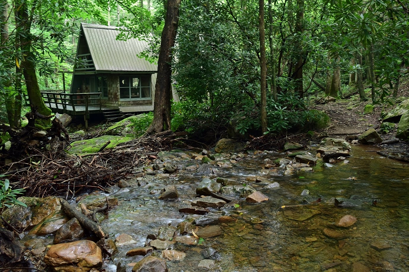
Begin hiking down the gravel FR-94 and in a couple hundred feet, turn left and cross the creek on a footbridge for Squibb Creek Trail (#23) and enter the wilderness. There are two bridges and then in 0.4 miles, the trail crosses Squibb Creek next to an unusual cabin.
After another creek crossing, Turkey Pen Cove Trail and then Middle Spring Ridge Trail split to the left. Continue straight on Squibb Creek Trail. There are several more crossings as the trail continues up the creek.

The trail gains a good bit of elevation as there are numerous drops on the creek.

The trail ends at 2 miles at the base of Squibb Creek Falls.

I thought the mossy rocks around the waterfall were really beautiful.

Here's a video of the falls.
US Forest Service website: https://www.fs.usda.gov/recarea/cherokee/recarea/?recid=34894
No comments:
Post a Comment