
Contact Information:
Haw River Coordinator Phone: (336) 229-2380
Email: info@thehaw.org
Map:
Haw River Trail:
Several sections of the Haw River Trail are currently open.
Glencoe Segment:
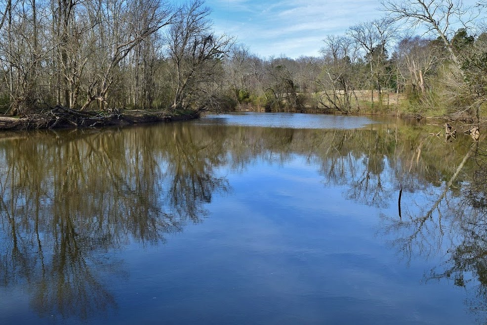
The Glencoe Segment runs from Indian Valley Paddle Access to Stoney Creek Marina. The northern trailhead is at Indian Valley Paddle Access, where limited street parking is available. The trail descends to the river and follows it a short ways before leading up to Whispering Wind Road. Turn right and follow the road a short ways, then right again to head back into the woods and run along the perimeter of a golf course. After the golf course, the trail runs through Great Bend Park and past the scenic Glencoe Mill Dam. After the park the trail runs through the town of Glencoe on streets and then to Glencoe Paddle Access. After passing under NC-62, the trail follows the river before crossing two streets and then following the shore of Stoney Creek Reservoir. This segment ends at Stoney Creek Marina.
Sellers Falls Segment:
Sellers Falls segment runs from Stoney Creek Marina to Red Slide Park. From Stoney Creek Marina, follow the road and turn left on Carolina Road. Go down the hill and turn left on Carolina Mill Road to cross Haw River on a bridge. There is an old dam just upstream. After the bridge, follow the trail in the woods a short ways to Sandy Cross Road and turn right and go under a quarter-mile to where the trail heads into the woods again for several miles. The trail then comes out on US-70, crossing the river at the Three Governors Bridge, then follows the river on the opposite side to Red Slide Park.

Longmeadow Segment:
The Longmeadow Segment is almost 2 miles of trail in Graham, crossing under I-85/I-40.

Swepsonville Section:
The Swepsonville Section runs for about 1 mile in Swepsonville River Park.

Saxapahaw Section:
The Saxapahaw Section is about 2.5 miles. The northern end is near Saxapahaw Campground on the west side of the river. After crossing the river on the bridge, the trail passes behind Saxapahaw Rivermill and continues following the river downstream.

Wildlife:
Bloodroot (Sanguinaria canadensis) is an early spring wildflower with orange sap that resembles blood.

Blog Entries:
18-Nov-2023: Saxapahaw Hikes
26-Jun-2022: Haw River Hikes
06-Feb-2022: Haw River MST Hike
17-Mar-2019: Haw River Trail
External Links:
Alamance County Parks website: https://www.alamance-nc.com/recreation/outdoors/hrt/
Haw River Trail website: https://www.thehaw.org/
No comments:
Post a Comment