
Map:
Trails:
Amberly Lake Loop Greenway:
Length: 1.5 miles
Amberly Lake Loop Greenway makes a loop around Amberly Lake. It runs concurrently with Morris Branch Greenway on the north side of the lake. Yates Store Road bisects the loop and there is a connection to the Street-Side Trail.

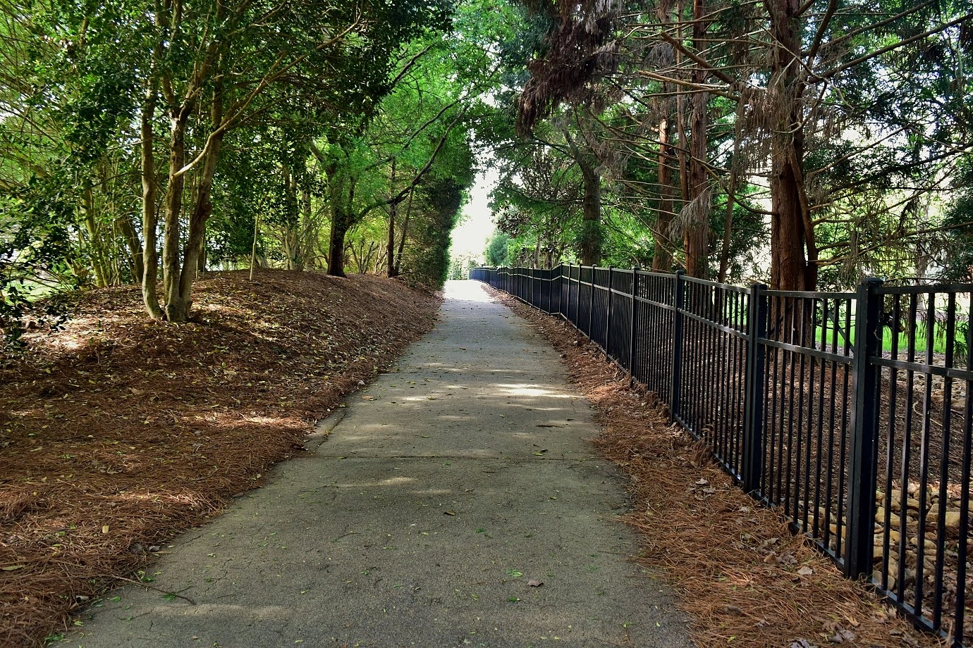
American Tobacco Trail:
Length: 4.7 miles (in Cary Jurisdiction)
Cary manages the Chatham County portion of the American Tobacco Trail.

Batchelor Branch Greenway:
Length: 1.1 miles
Batchelor Branch Greenway is in two sections. The northeast section starts at Highway 55 Street-Side Trail and follows its namesake west, ending at Green Hope School Greenway. The southern section starts leads from High House Road to Whiteoak Creek Greenway. There are plans to eventually connect the two sections.
Bishops Gate Greenway:
Length: 1.6 miles
Bishops Gate Greenway runs through neighborhoods on either side of Westhigh Street and goes around two ponds.

Length: 7.1 miles
Black Creek Greenway is the longest trail in the system and is part of the East Coast Greenway. The north end of the trail is at the northeast corner Lake Crabtree. East Coast Greenway continues along Old Reedy Creek Road past 286 Property and into William B. Umstead State Park. Black Creek Greenway follows the lake shore south. Crabtree Creek Trail splits at the end of the lake. The trail continues following Black Creek to the terminus at Fred G. Bond Metro Park.


Length: 2.0 miles
Crabtree Creek Greenway currently has two sections. The longer runs along the south shore of Lake Crabtree from Black Creek Greenway to Crabtree Creek at Evans Road. Crabtree Creek Greenway, part of Morrisville Greenway, picks up across the street.


Panther Creek Greenway is one of the newest greenway trails running along the northern end of Cary Park Lake and extending eastward following Panther Creek upstream. It currently ends after passing under NC-540.


Length: 1.2 miles
Swift Creek Greenway runs from Symphony Lake along the creek between Ritter Park and Hemlock Bluffs Nature Preserve, ending at Kildaire Farm Road.


Eastern redbud (Cercis canadensis)


Eastern spring beauty (Claytonia virginica)

Northern water snake (Nerodia sipedon)


Great blue heron (Ardea herodias)


Barred owl (Strix varia)

31-Mar-2019: Wildflowers in Cary
Town of Cary Greenways website: https://www.townofcary.org/recreation-enjoyment/parks-greenways-environment/greenways

Black Creek Greenway:
Length: 7.1 miles
Black Creek Greenway is the longest trail in the system and is part of the East Coast Greenway. The north end of the trail is at the northeast corner Lake Crabtree. East Coast Greenway continues along Old Reedy Creek Road past 286 Property and into William B. Umstead State Park. Black Creek Greenway follows the lake shore south. Crabtree Creek Trail splits at the end of the lake. The trail continues following Black Creek to the terminus at Fred G. Bond Metro Park.

Camp Branch Greenway:
Length: 0.7 miles
Camp Branch Greenway currently runs from Ten Ten Road through the Stanton subdivision.
Carramore Avenue Street-Side Trail:
Length: 0.6 miles
Carramore Avenue Street-Side Trail is a wide sidewalk between Davis Drive and Louis Stephens Drive.
Cary Park Lake Greenway:
Length: 1.9 miles
Cary Park Lake Greenway makes a double loop around the lake within the Cary Park subdivision. Southbridge Greenway connects from the south and Panther Creek Greenway connects to the east.
Churchill Estates Greenway:
Length: 0.5 miles
Churchill Estates Greenway follows a wide sidewalk along Ten Ten Road then a greenway trail through the Churchill Estates neighborhood.
Copperleaf Greenway:
Length: 0.7 miles
Copperleaf Greenway is a short neighborhood greenway from Green Hope School Road through the subdivision.
Crabtree Creek Greenway:
Length: 2.0 miles
Crabtree Creek Greenway currently has two sections. The longer runs along the south shore of Lake Crabtree from Black Creek Greenway to Crabtree Creek at Evans Road. Crabtree Creek Greenway, part of Morrisville Greenway, picks up across the street.

There is another section that heads north from Fred G. Bond Park.

Davis Drive Street-Side Trail:
Length: 3.5 miles
Davis Drive Street-Side Trail is a wide sidewalk along Davis Drive from Whiteoak Creek Greenway to Morrisville.
Dutchman's Branch Greenway:
Length: 0.4 miles
Dutchman's Branch Greenway currently runs from Den Helder Way through the Greyhawk subdivision.
East Coast Greenway:
Length:
The East Coast Greenway is a proposed greenway trail stretching from Maine to Florida, with the section in North Carolina designated a State Trail. The trail follows the Cary Greenway along American Tobacco Trail, Whiteoak Creek Greenway and Black Greenway. Past Lake Crabtree, the trail follows Old Reedy Creek Road past 286 Property and into William B. Umstead State Park.
Glenkirk Greenway:
Length: 0.2 miles
Glenkirk Greenway is a short greenway trail through the Glenkirk neighborhood.
Green Hope School Greenway:
Length: 2.7 miles
Green Hope School Greenway runs from Morrisville Parkway south through Sears Farm Park and ending at Batchelor Branch Greenway. It is named for a historical school that was in the area.
Green Level Church Road Street-Side Trail:
Length: 3.4 miles
Green Level Church Road Street-Side Trail is a wide sidewalk along its namesake road. The trail is currently in three discontinuous segments, but will eventually be connected.
Highcroft Drive Street-Side Trail:
Length: 1.4 miles
Highcroft Drive Street-Side Trail is currently in two sections following its namesake road but will eventually connect.
Highcroft Village Greenway:
Length: 0.7 miles
Highcroft Village Greenway splits from Green Hope School Greenway and leads to Highway 55.
Hinshaw Greenway:
Length: 1.7 miles
Hinshaw Greenway runs from Maynard Road to Marla Dorrel Park, crossing US-1/US-64 on a 300-foot pedestrian bridge.

Indian Creek Greenway:
Length: 0.4 miles
Indian Creek Greenway connects to Morrisville Greenway on both ends.

Kildaire Farm Street-Side Trail:
Length: 1.3 miles
Kildaire Farm Street-Side Trail follows a wide sidewalk along its namesake between Swift Creek Greenway, passing by Hemlock Bluffs Nature Preserve to Dutchman's Branch.
Loch Highlands Street-Side Trail:
Length: 0.9 miles
Loch Highlands Street-Side Trail follows a wide sidewalk along its namesake between Kildaire Farm Road and Penny Road.
Louis Stephens Drive Street-Side Trail:
Length: 0.7 miles
Louis Stephens Drive Street-Side Trail is a wide sidewalk along the road from Morrisville Parkways south to Green Hope Elementary School.
Morris Branch Greenway:
Length: 2.0 miles
Morrisville Branch Greenway follows Yates Store Road from New Hope Church Road for 0.4 miles then turns left to run between subdivisions along the Wake-Chatham County Line. At 0.6 miles, the trail reaches Amberly Lake and follows the north end of the lake and currently ends at Green Level Church Road. There are plans to extend the trail east to NC-55

Morrisville Parkway Street-Side Trail:
Length: 2.1 miles
Morrisville Parkway Street-Side Trail follows its namesake connecting with several other trails in the network.
Nancy Branch Greenway:
Length: 1.1 miles
Nancy Branch Greenway starts at Yates Store Road Street-Side Trail and runs east following its namesake upstream. At 0.6 miles, the trail crosses Green Level Church Road at a crosswalk and continues to the current end in another half mile near NC-540. There are plans to extend the trail eastbound to Panther Creek High School and westbound to American Tobacco Trail.
NC Highway 55 Street-Side Trail:
Length: 2.1 miles
NC Highway 55 Street-Side Trail runs along the road from Stone Creek Greenway to Whiteoak Creek Greenway.
Northwoods Greenway:
Length: 0.9 miles
Northwoods Trail starts along NC-54/Chapel Hill Road at Northwoods Elementary School and leads just under a mile to Black Creek Greenway at Godbold Park.
O'Kelly Chapel Road Street-Side Trail:
Length: 0.7 miles
A wide sidewalk along O'Kelly Chapel Road from Highway 55 to Parkside Green Street.

Oxxford Hunt Greenway:
Length: 1.1 miles
Oxxford Hunt Greenway heads south from Fred G. Bond Park and passes through the Oxxford Hunt Neighborhood and along Hoffmann Lake.

Panther Creek Greenway:
Panther Creek Greenway is one of the newest greenway trails running along the northern end of Cary Park Lake and extending eastward following Panther Creek upstream. It currently ends after passing under NC-540.
Park Village Greenway
Length: 0.7 miles
Park Village Greenway leads from the Park Village Community Center and runs through the neighborhood, ending at White Oak Creek Greenway.
Piney Plains Greenway:
Length: 0.2 miles
Piney Plains Greenway currently connects Hinshaw Greenway near Marla Dorrel Park to Forest Park Way with plans to extend it further east.
Pirates Cove Greenway:
Length: 0.7 miles
Pirates Cove Greenway leads from Greenwood Circle to Kildonan Place with a sidewalk connector to Hinshaw Greenway.

Reedy Creek Greenway:
Length: 0.4 miles
Reedy Creek Greenway runs from Black Creek Greenway to Westongate Way, where it follows a wide sidewalk to end at Harrison Avenue. There are plans to extend the greenway eastbound in the future.
Sherwood Greens Greenway
Length: 0.3 miles
Sherwood Greens Greenway is a neighborhood trail from Sherwood Forest Place to Park Village Greenway.
Southbridge Greenway:
Length: 0.9 miles
Southbridge Greenway connects from Cary Park Lake to Morrisville Road.
Stone Creek Greenway:
Length: 0.6 miles
Stone Creek Greenway runs from Davis Drive past Stone Creek Shopping Center.
Swift Creek Greenway:
Length: 1.2 miles
Swift Creek Greenway runs from Symphony Lake along the creek between Ritter Park and Hemlock Bluffs Nature Preserve, ending at Kildaire Farm Road.

Symphony Lake Greenway:
Length: 1.8 miles
Symphony Lake Greenway makes a loop around the lake and passing by Koka Booth Amphitheater.
White Oak Creek Greenway:
Length: 7.1 miles
White Oak Creek Greenway begins at Fred G. Bond Metro Park and leads west to the American Tobacco Trail. The last section of trail between MacArthur Drive and Davis Drive was completed in April 2020 so the trail can be hiked in its entirety.

Yates Store Road Street-Side Trail:
Length: 1.4 miles
Yates Store Road Street-Side Trail follows a wide sidewalk on the east side of the street from Amberly Lake Loop Greenway at Brookhill Way north passing Morris Branch Greenway and Nancy Branch Greenway and ending at Stonewater Glen Lane.

Wildlife:
Eastern redbud (Cercis canadensis)

Pinxter azalea (Rhododendron periclymenoides)

Eastern spring beauty (Claytonia virginica)

Northern water snake (Nerodia sipedon)

Song sparrow (Melospiza melodia)

Northern cardinal (Cardinalis cardinalis)

Great blue heron (Ardea herodias)

Hooded merganser (Lophodytes cucullatus)

Red-shouldered hawk (Buteo lineatus)

Barred owl (Strix varia)

Blog Entries:
31-Mar-2019: Wildflowers in Cary
External Links:
Town of Cary Greenways website: https://www.townofcary.org/recreation-enjoyment/parks-greenways-environment/greenways
No comments:
Post a Comment