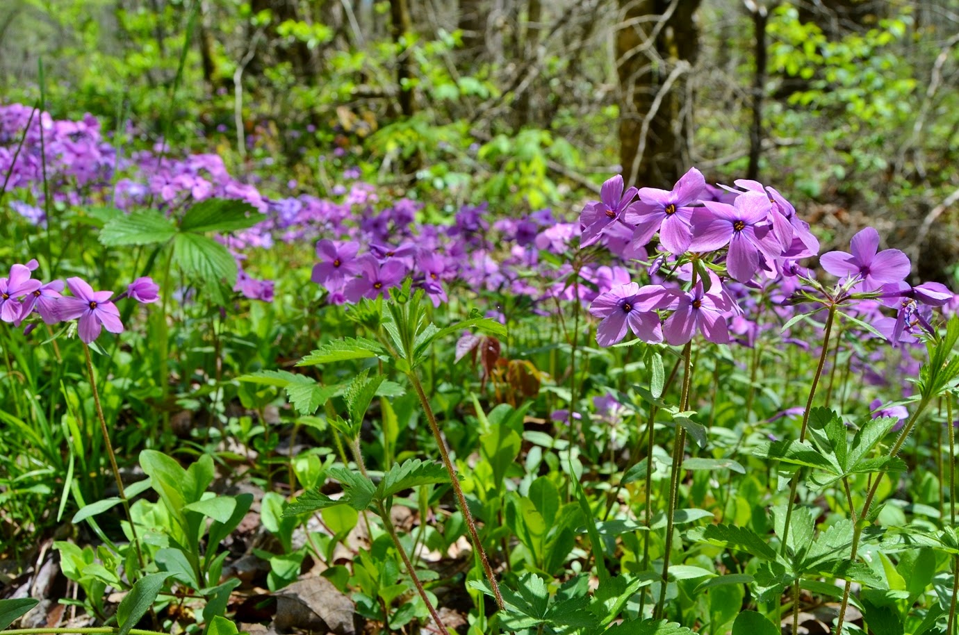
This past weekend, Sandy and I headed to the mountains for some waterfalls and wildflowers. The forecast was looking to be rainy, but it turned out to be much nicer in the mountains than back in Raleigh. We left home around 630 and started driving west on I-40. It rained much of the way out, but started to dry out as we passed Asheville. We stopped at a Subway to pick up lunch and then took exit 7 for Harmon Den and headed into Pisgah National Forest. Following Cold Springs Creek Road (FSR 148) into the forest, we made a quick stop along the side of the road where Grassy Branch flows into Cold Springs Creek. There’s a waterfall here, but it was too covered by foliage to see anything and the water level was too high to easily cross the creek. But the wildflowers were beautiful and I got some quick pictures before we continued on.

After about 3 miles, we turned right onto Fall Branch Road (FSR 3526) and followed to the end at the gate and parked in the turnaround past the horse camp. Once parked, we hiked past the gate and then turned left to follow the makeshift path leading upstream along Little Fall Branch. We weren’t the only people here - there were several other people here with lots of camera gear getting photos of the beautiful wildflowers along the path.
Hiking up towards the waterfall, we saw countless trillium, foamflower, and even showy orchis, but we decided to hike to the waterfall first and then stop to see the flowers on the way back. It was only a little over a quarter-mile to Waterfall on Little Fall Branch, a scenic 40-foot waterfall.
The area around the waterfall was blanketed with trillium and the fresh spring green on the trees surrounding the falls made for a beautiful scene.
We got some pictures here and then started making the slow hike back.
Slow, not because the hike was challenging, but because we stopped every few feet to see the beautiful little flowers blooming along the trail.
The trillium were the most abundant, mostly white but a few red and pink mixed.
We also saw foamflower, star chickweed, and many other pretty little flowers.
The most exciting flowers, however, were the showy orchis.
These were present in only a couple spots and it would have been easy to miss, but we hiked slowly to ensure we wouldn’t miss any. Back at the car, we headed back to FSR 148 and continued driving up the mountain. At one point, we stopped to see a huge patch of beautiful purple phlox blooming along the side of the road.
And we stopped again at the turn to see a large patch of trillium blooming along the road.
Then we turned left on Max Patch Road and followed the road up to the mountain and parked at the day-use area. We ate our lunch in the cars as it was rather windy and there were lots of flying gnats about. After lunch, we got our stuff together for a hike around Max Patch. Right across the street from the parking area, I found a nice patch of red trillium.
Then we started hiking the Max Patch Loop Trail in the clockwise direction. The trail initially heads into a wooded area around the base of the mountain and we saw a lot of trout lilies here, but not a lot of other wildflowers.
I guess things are slower to bloom at higher elevations. Soon we came out of the woods and turned right onto the AT and hiked to the summit of Max Patch.
This mountain is a bald, maintained by the Forest Service, to provide fantastic panoramic views in all directions. To the east, we could see the Black Mountains far in the distance. Looking to the west, we could see the Smoky Mountains and Tennessee.
We got some pictures from up here, then continued along the trail. As we came down from the summit, we turned left, heading away from the trailhead.
We hiked the Buckeye Ridge Trail (#304), that piggybacks on the AT for a while. Past Max Patch, we continued on Buckeye Ridge Trail where it splits from the AT for about a half-mile and then turned back.
We followed the AT back to Max Patch, making a loop, and then returned to the parking area. Back at the cars, we drove back down the mountain. There was construction and the on-ramp to I-40 west was blocked so we had to take a detour. We followed I-40 into Tennessee and got off at the first exit - 451 and headed into the Big Creek area of Great Smoky Mountains National Park. The individual campsites here are not able to be reserved. I figured with the weather forecast, there wouldn’t be a lot of people camping. But I was wrong - the campground was almost full. There were a couple spots left, so we got site #8. Even here, there were a number of wildflowers blooming, including an abundance of yellow trillium.

After setting up camp, we headed to Cosby, TN for dinner at Carver’s Applehouse. It had been a while since we had eaten here and it was great as usual, especially the apple fritters. After dinner, he swung by the store and bought some apples and apple butter to bring home with us. Then we headed back to camp. We built a nice campfire and went to bed early.