
Hike Length: 9.4 miles
Estimated Time: 4 to 5 hours
Difficulty: Moderate
Location: Snowy Range (Brush Creek/Hayden Ranger District of Medicine Bow National Forest)
Trail Users: Hiking and equestrians
Dogs: Yes
Features: Waterfalls (2)
Crowds: Low
Warnings: None
Trailhead GPS: 41.57740,-106.23028
Waterfall GPS: 41.53628,-106.25548 (Stud Creek Falls), 41.52213,-106.25221 (Carlson Creek Falls)
Directions:
To visit the falls, head west on I-80 from Laramie for about 40 miles to Arlington. Take exit 272 and turn left on WY-13 at the end of the off-ramp. Drive under the interstate and turn right on the first gravel road and then left on the next gravel road. Both are signed for Rock Creek Trail. From the second turn, go about 1.5 miles to the end and park.
Map:

Hike Description:
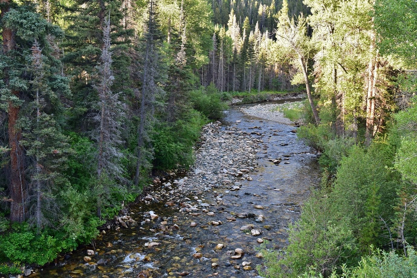
Rock Creek Trail (#106) starts from the end of the parking area and follows its namesake upstream. There are nice views of the creek from the trail.

At 1.5 miles from the trailhead, there is the remains of an old miner's cabin.

At about 3 miles, the trail crosses an unnamed tributary. There is no waterfall on this tributary. In another mile, the trail crosses Stud Creek on a footbridge. Study Creek Falls drops below the bridge.

From the bridge, the upper section of the falls is visible.

Continuing on the trail, it crosses Carlson Creek is just under another mile. Carlson Creek Falls is also just below the bridge.

There is also another upper section that can be seen from the footbridge.

Blog Entries:
25-Aug-2019: Rock Creek Waterfalls
External Links:
US Forest Service website for Rock Creek Trailhead: https://www.fs.usda.gov/recarea/mbr/recreation/recarea/?recid=22580
No comments:
Post a Comment