
Estimated Time: 2 to 3 hours
Difficulty: Moderate
Location: Pond Mountain Wilderness (Watauga Ranger District of Cherokee National Forest)
Trail Users: Hiking only
Dogs: Yes
Features: Waterfalls (1)
Crowds: Moderate
Warnings: The rocks around waterfalls are slippery.
Trailhead GPS: 36.28566,-82.15216
Waterfall GPS: 36.27261,-82.13474
Directions:
From Elizabethton, head south on US-19 E/US-321 for about 5 miles to Hampton. In Hampton, turn left on US-321 south and go 1.3 miles to the Laurel Fork Trailhead on the right.
Map:

Hike Description:
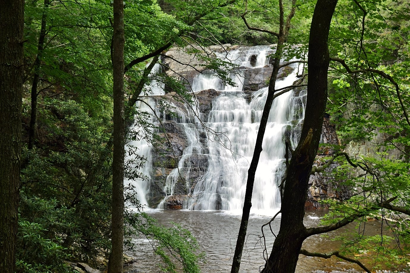
An obvious path descends from the AT down to the base of the waterfall.

Here's a video of the falls.
Blog Entries:
24-Jun-2023: Laurel Fork Falls
02-Apr-2016: Hampton Area Waterfalls
External Links:
US Forest Service website: https://www.fs.usda.gov/recarea/cherokee/recarea/?recid=35016
Wilderness.net website: https://wilderness.net/visit-wilderness/?ID=468
No comments:
Post a Comment