
Trail Sections:
The trail is divided into four sections.
Section 1:
Section 1 starts at the trailhead near the campground on Davidson River and marks the southern terminus. The trail initially follows the river on a level course. At 0.7 miles, Estatoe Trail splits to the left and continues following the river, while Art Loeb begins a steep climb up Shut-In Ridge. The trail crosses FR-5002 (Joel Branch Road) at about 2.5 miles. North Slope Connector (#359A) splits to the right at 3.8 miles and the trail crosses FR-475C (Horse Cove Road) at 4.6 miles. At about 5 miles, the trail passes over the summit of Chestnut Knob, but there are now views from here. The trail then descends to Cat Gap, intersecting Cat Gap Loop (#120) at 6.2 miles and then ascends again towards Cedar Rock Mountain. There are some nice views of the cliffs here. From Butter Gap, the trail climbs Chestnut Mountain then drops down to FR-471 (Catheys Creek Road). The trail winds near the top of Rich Mountain then drops back down to FR-471 at Gloucester Gap, the terminus of this section.

Section 2:
Section 2 starts from Gloucester Gap at the intersection of FR-471 (Catheys Creek Road) and FR-475 (Davidson River Road). The trail steeply climbs up Pilot Mountain, reaching the summit in about 2 miles. The trail then descends to Deep Gap then back up to the top of Sassafras Knob. The trail then descends to Farlow Gap and starts climbing Shuck Ridge. In about 5.5 miles, the trail crosses the parkway and steeply climbs Silvermine Bald. At the top, the trail meets up with Mountains-to-Sea Trail and leads to parking on FR-816 (Black Balsam Road), the end of Section 2.
Section 3:
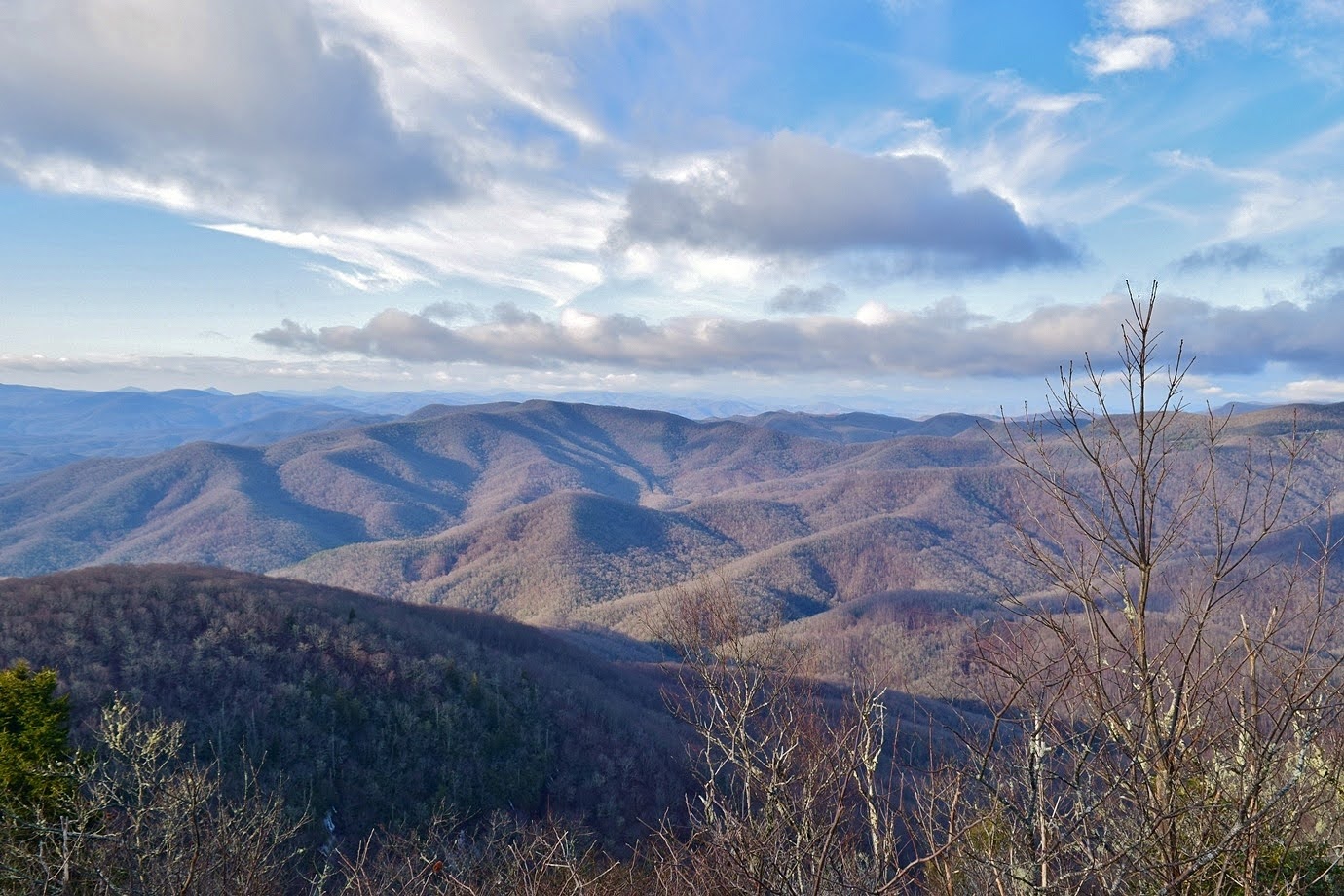
Section 3 starts at FR-816 (Black Balsam Road) and leads up to the summit of Black Balsam Knob at over 6200 feet. The trail then leads north into Shining Rock wilderness. Section 3 ends near the summit of Cold Mountain.

Section 4:
Section 4 starts near the summit of Cold Mountain and descends steeply to the Camp Daniel Boone Trailhead.
Blog Entries:
01-Jan-2023: First Day Hike on Art Loeb
31-Dec-2022: Art Loeb Long Branch Loop
30-Dec-2022: Art Loeb to Cedar Rock Mountain
29-Jun-2014: Shuck Ridge Creek Falls
External Links:
US Forest Service website: https://www.fs.usda.gov/recarea/nfsnc/recarea/?recid=48122
No comments:
Post a Comment