Saturday, January 20, 2024

Cowpens Battlefield

Saturday morning, we packed up and had our last breakfast at Village Inn.  The staff and regulars said good-bye to Harper before we left and started heading home.  Near Gaffney, we stopped at Cowpens National Battlefield.


After getting a passport stamp, we set off on the walking path through the battlefield site.


There were various exhibits describing the combatants and military strategies employed.  It was very interesting to see how the terrain contributed to Morgan's double envelopment of the British forces and decisive victory. 


Near the end of the loop, we passed the Washington Light Infantry Monument.


The trail ended back at the visitor center.


We then drove the auto tour through the battlefield and made a quick stop at Robert Scruggs House.


After finishing the loop, we took off and continued into North Carolina.  We made one more stop in Charlotte at Reedy Creek Park and Preserve.  We first hiked Dragonfly Pond Loop running along the scenic pond.


Then we did a loop around Umbrella Tree Trail and took South Fork Trail to Sierra Loop.


The Robinson Rockhouse Trail led out to the ruins, believed to be from the 1790s.


After a couple pictures, we headed back.


We continued heading home from here, with a stop in Thomasville at Sixty Six Grill for dinner.

Friday, January 19, 2024

Chauga River Waterfalls

Friday morning, we had our usual breakfast and then headed to Oconee County and Chau Ram Park.  It was just a short hike down the road to see Ramsey Creek Falls.


The rocks were icy so we had to stay behind the fence.


After some pictures, we walked over to the Point with a nice view of Chauga River.


We then crossed the swinging bridge and walked up to Pump House Rapids on the opposite side of teh river.


The swinging bridge was just downstream of here.


After some pictures, we got on the Blue Trail and passed Lost Paddle Rapids.


Just past here was Jump Off Rock.


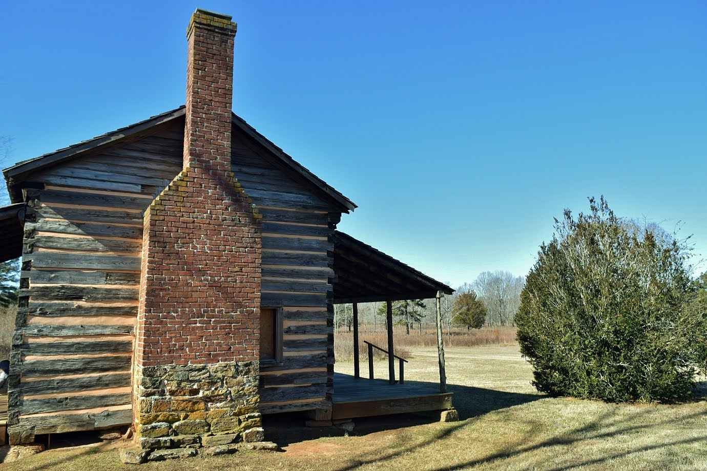
The trail continued along the river a short ways then looped around just before the bridge on US-76.  I made a short detour on the Red Trail up to the Scout Cabin.  Only the chimney remained and it looked like it was converted to an amphitheater.


We took the Orange Trail to head back down to the river at V Rapid, which was shaped like a V.


Just upstream of here was Canopener Rapid.


The loop completed just past here and we headed back to the car.


Next, we headed into Sumter National Forest on Spy Rock Road and parked at the gated FR-748C.  At the end of the road, we picked up Riley Moore Falls Trail and followed that another half-mile to Riley Moore Falls.


The beach area at the base made a nice spot to relax and have lunch.


Alex dug a little burrow in the sand and took a nap.  After our break, we headed back.


From here, we got on Brasstown Creek Road and drove to the trailhead at the end.  It was a short hike to a split and we first went left.  A bridge crossed Brasstown Creek so we didn't have to wade to reach Little Brasstown Falls


After a couple pictures, we went back to the split and headed down to Brasstown Falls.


The upper section of the waterfall is a long series of cascades.


Just below this is a 20-foot veil.  A new overlook provides a view of the two upper sections of the falls.


The trail got steep after this point with a ladder that Alex had trouble with, but he found a way around.


The trail ended at the base of the lowest section, a narrow chute.


This is one of my favorite South Carolina waterfalls.  Each section would be a nice waterfall on its own, but all together, it's just great.


On the drive back, we stopped at Brasstown Creek Gathering Place for barbecue dinner and then headed back to Pickens to start packing up.

Thursday, January 18, 2024

Keowee-Toxaway

Thursday, we had breakfast again at Village Inn then headed to Keowee-Toxaway State Park, arriving right at opening time.  We started off on Natural Bridge Trail.  In about a half-mile, we crossed the natural bridge.


It's basically just a big rock slab over Poe Creek.


I went upstream and downstream of the bridge for some pictures.


Just downstream of here was Upper Poe Creek Falls.


There was a big open rocky area in the creek to go out and get a picture.


Just past the waterfall, we got on Raven Rock Trail.


There were some big rocks along the trail with some unusual icicles dripping down.


At the split, we went right and eventually came down to Lake Keowee.


There were some nice views, but the other side of the lake is developed.  As the trail climbed back up, there was a real nice overlook with a more natural view.


After finishing the loop, we got back on Natural Bridge Trail and crossed the creek on a wooden footbridge just below Poe Creek Falls.


It's the biggest on the creek at about 15 feet.  The best views were from the other side after crossing the bridge.


Alex really didn't like the footbridge, so we had to cross on the rocks.


A little further down the trail, a side path led to Lower Poe Creek Falls.


I thought this was the most scenic of the three.


After that, we finished up the loop and headed back to the car.


For lunch, we stopped at Mikoshi in Pickens for hibachi and then made a stop at Glass Mountain Heritage Preserve.


Parking at the summit near the radio towers, we took the trail that headed down the mountain.


There were several nice viewpoints from Glassy Mountain.


The ended near the start of the entrance road and we headed back up.


From here, we headed back to our cabin for the evening.