Saturday morning, it was quite cold when I woke up. After breakfast, I headed back to Dismal Swamp State Park to hike the rest of the trails on a much more pleasant day.
After crossing the bridge, I got on Supple-Jack Trail to hike through the woods and saw some beautyberry.

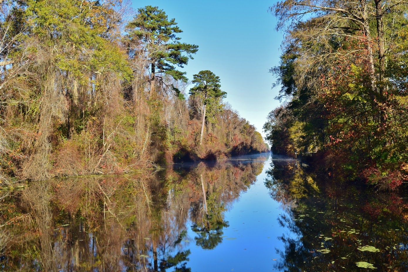
At the end, I got on Canal Road and saw more deer.

At the end of Canal Road, I again turned on Kim Saunders Road.

But this time, I turned on S. Martha Washington Trail to head up towards the northern boundary of the park. Near the end were two weirs to control water flow.

The trail led over a bridge on the second one, but the first was fenced off.

At the end, I turned on Corapeake Road to hike along the park's northern boundary and state line. Near the end, the forest opened up as I came to the location of the 2011 fire scar.

A wildfire sparked by lightning started the fire that lasted over 100 days cleared out the forest in this area. There was a picnic table here at the northwest corner of the park where I had lunch.

Then I hiked down Forest Line Road back to Kim Saunders Road.

Hiking back, I turned to hike Western Boundary up and then back down on Laurel Trail to finish off the remaining trails I had yet to hike.


From here, I stopped at Newland Pub and Grill along US-158 for dinner then returned to camp at Merchants Millpond and made a campfire.
No comments:
Post a Comment