Sunday, we headed west to get away from the heat in Raleigh to South Mountains State Park. The forecast was a high in the mid 70s and it was around 65 when we started. Our first stop was the visitor center to get Alex's passport stamped. From the Jacob Fork Parking area, we took High Shoals Falls Loop Trail to Chestnut Knob Trail and began a steep ascent. Fortunately, it was still cool out so the climb wasn't too bad. In just over a mile, we came to the Jacob Fork River Gorge Overlook.

The view from here was really beautiful of the gorges formed by Jacob Fork and Shinny Creek. High Shoals Falls was partly visible even with summer foliage though just barely.

In another mile, the trail split and a left took us to Chestnut Knob Overlook. This spot arguably has the best views in the park.

The overlook itself is a rocky outcrop below the summit of Chestnut Knob.

Heading back, we went straight to cross the high point of Chestnut Knob and then left on Sawtooth Trail. About half way down was a nice open area with a picnic table, so we stopped here to eat lunch and take a break.

It looked like a fire had burned the area recently, providing more open views than on most of the trail. Continuing on, we turned left on Horseridge Trail. In a short ways, we caught up to a box turtle who seemed to be hiking along the trail, albeit slowly.

The trail passed by an open meadow where lots of goldenrod was blooming.

Further on, a single Carolina lily was blooming - the only one on our entire hike.

At Possum Trail, we turned left and started heading down the ridge towards Shinny Creek. Sandy spotted a large grasshopper along the trail.

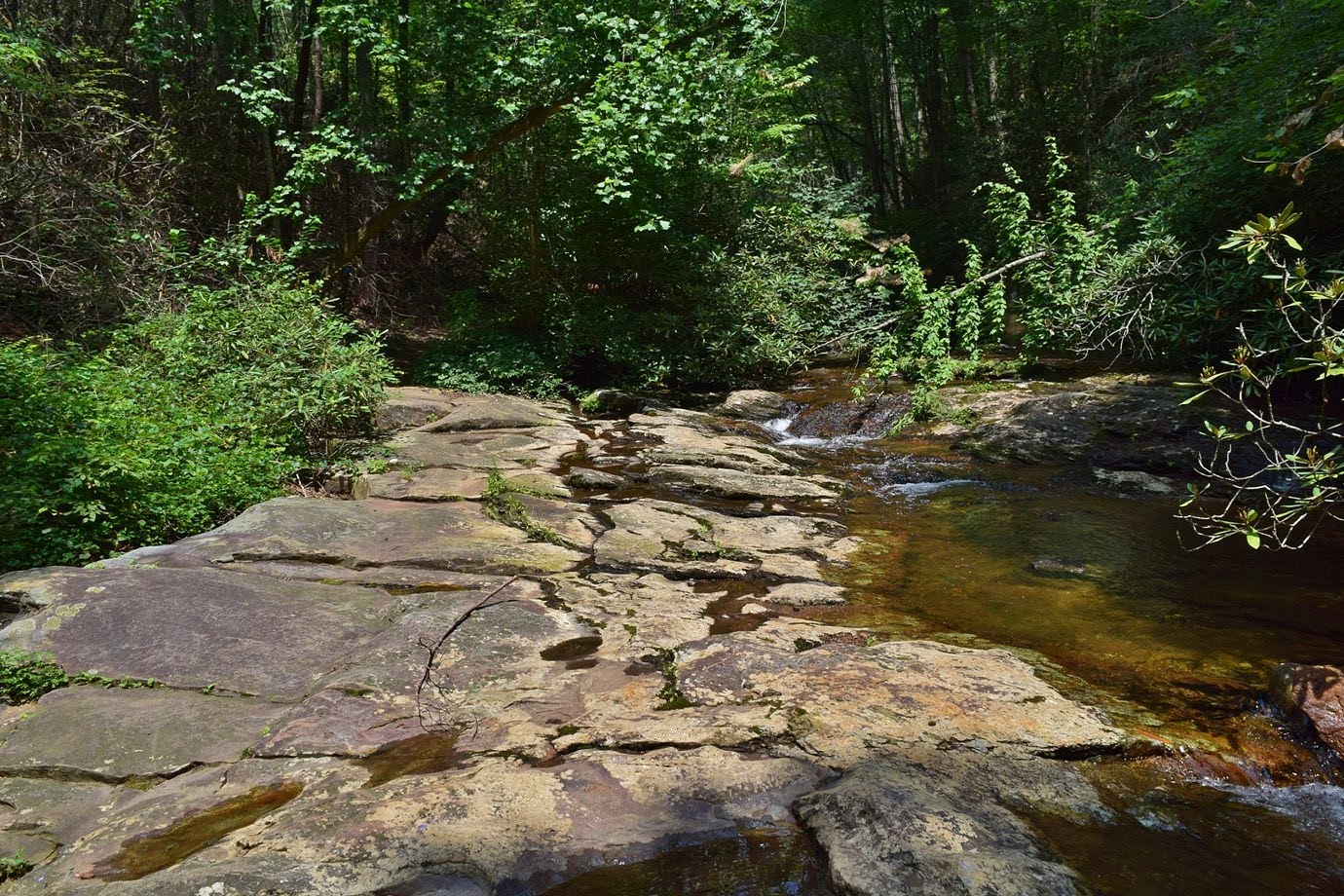
At the next junction, another left took us on Shinny Trail. There were two crossings, the first had a footbridge and the second was over a rocky section.

In the water was a large blue crayfish.

When the trail reached the Shinny Creek backcountry campsites, we turned right on Headquarters Trail. It was really steep heading up and we were starting to feel it. A clearing provided nice views and we took a short break here.

Once we reached Upper Falls Trail, it was pretty much all downhill back to the car. We followed Upper Falls Trail down to High Shoals Fall Loop and stopped to see some mushrooms growing along the trail.

Turning right towards High Shoals Falls, the trail came out near the top and some nice cascades are right above the waterfall.

The park has installed plenty of fencing to keep people away from the top of the waterfall, but it's not too effective. We climbed down the stairs to the overlook for High Shoals Falls.

Being a nice weekend day, the area on the falls was packed, so after I got a couple pictures, we continued on.

It was about a mile from here back to the car.

The view from here was really beautiful of the gorges formed by Jacob Fork and Shinny Creek. High Shoals Falls was partly visible even with summer foliage though just barely.

In another mile, the trail split and a left took us to Chestnut Knob Overlook. This spot arguably has the best views in the park.

The overlook itself is a rocky outcrop below the summit of Chestnut Knob.

Heading back, we went straight to cross the high point of Chestnut Knob and then left on Sawtooth Trail. About half way down was a nice open area with a picnic table, so we stopped here to eat lunch and take a break.

It looked like a fire had burned the area recently, providing more open views than on most of the trail. Continuing on, we turned left on Horseridge Trail. In a short ways, we caught up to a box turtle who seemed to be hiking along the trail, albeit slowly.

The trail passed by an open meadow where lots of goldenrod was blooming.

Further on, a single Carolina lily was blooming - the only one on our entire hike.

At Possum Trail, we turned left and started heading down the ridge towards Shinny Creek. Sandy spotted a large grasshopper along the trail.

At the next junction, another left took us on Shinny Trail. There were two crossings, the first had a footbridge and the second was over a rocky section.
In the water was a large blue crayfish.

When the trail reached the Shinny Creek backcountry campsites, we turned right on Headquarters Trail. It was really steep heading up and we were starting to feel it. A clearing provided nice views and we took a short break here.

Once we reached Upper Falls Trail, it was pretty much all downhill back to the car. We followed Upper Falls Trail down to High Shoals Fall Loop and stopped to see some mushrooms growing along the trail.

Turning right towards High Shoals Falls, the trail came out near the top and some nice cascades are right above the waterfall.

The park has installed plenty of fencing to keep people away from the top of the waterfall, but it's not too effective. We climbed down the stairs to the overlook for High Shoals Falls.

Being a nice weekend day, the area on the falls was packed, so after I got a couple pictures, we continued on.

It was about a mile from here back to the car.


