

Before the dam is opened, the water level is low enough to rock hop out into the creek and see the falls on the opposite side. It would not be possible to do this after the dam opens. After a couple pictures, I finished the hike up High Falls and found a spot to sit and wait from the opening.

As usual, it got quite crowded as it approached 10 o’clock. At around 1020, the water started. As the water level increased, the wind and mist increased and soon it was too wet for any more pictures. I headed a little further back and rested at a big rock to enjoy the view for a little longer.

A couple kayakers got in the water and started the extremely difficult paddle down the river. One flipped and was unable to roll over. Eventually he got out of his kayak and went downstream a bit before another kayaker was able to rescue him.
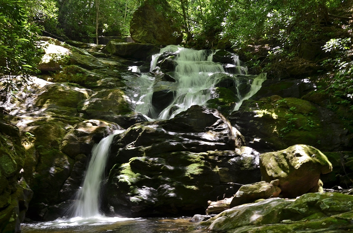
By 11, I was heading back to the car. I drove north back towards Cullowhee and turned right on Caney Fork Road. I was originally planning to head to the waterfalls on Sugar Creek, but the road condition wasn’t great and I didn’t know if I could make it in my Corolla. So I continued on a little further on Caney Fork Road and parked right after the road changed to gravel. I got my stuff together and backtracked a short ways on the road and turned left on Rough Butt Road, a small gravel drive. In less than a quarter-mile, the road comes to a crossing of Caney Fork. There used to be a bridge, but it washed away in a storm. I forded the creek here and continued following the old road (FSR-4669) up along a ridge over Caney Fork. Shortly, the road curved to the right and came to a crossing of Rough Butt Creek. I forded again here and climbed up a steep bank on the opposite side. There was a faint path following Rough Butt Creek upstream to the waterfall. This waterfall is not real high, but was very scenic, even in low water.
I had to wade to the opposite side of the creek for a good view of the waterfall. Then I made my way back. Back at the car, I decided to try and get Piney Mountain and Bearwallow Falls while I was here. I continued on Caney Fork Road and soon turned right on Forest Road 4666. It was almost three miles to where I would get off the trail and a grueling uphill hike almost the entire way. There was no one else out here, except for a couple of hunting dogs.

After passing the gate on FSR-4666, I got off the trail and started bushwhacking down to the confluence of Piney Mountain and Bearwallow Creeks. It was a very challenging bushwhack, and since I was alone in a very remote area, I decided to give up and head back for personal safety. Especially after my encounter with yellow jackets the weekend previous. I’ll get these two waterfalls another time when I’m not alone. Back at the car, I drove into Waynesville and had dinner at Tipping Point Tavern and then went back to the hotel. I took a quick dip in the pool before retiring for the evening.
No comments:
Post a Comment