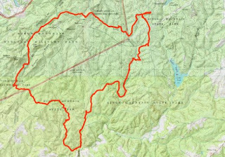
By the time we woke up Sunday morning, the rain had stopped. It was overcast, but we didn't get any more rain. After breakfast, we packed up camp and once finished, set off on the Kings Mountain Trail, a National Recreation Trail. This trail makes a big loop, passing through Kings Mountain State Park and Kings Mountain National Military Park. At the end of the road through the primitive group campsites, we turned left to hike the loop in the counterclockwise direction. In less than half a mile, the Ridgeline Trail that connects to Crowders Mountain State Park in NC split to the right. We saw a luna moth on the ground just off the trail.

Right after this, we crossed into the national park. In about two miles, we passed a spur that led to the military park where the Military through the Ages had been going on. We didn't hear any gunshots though. There were some really pretty Nuttall's sensitive briers blooming along the trail.

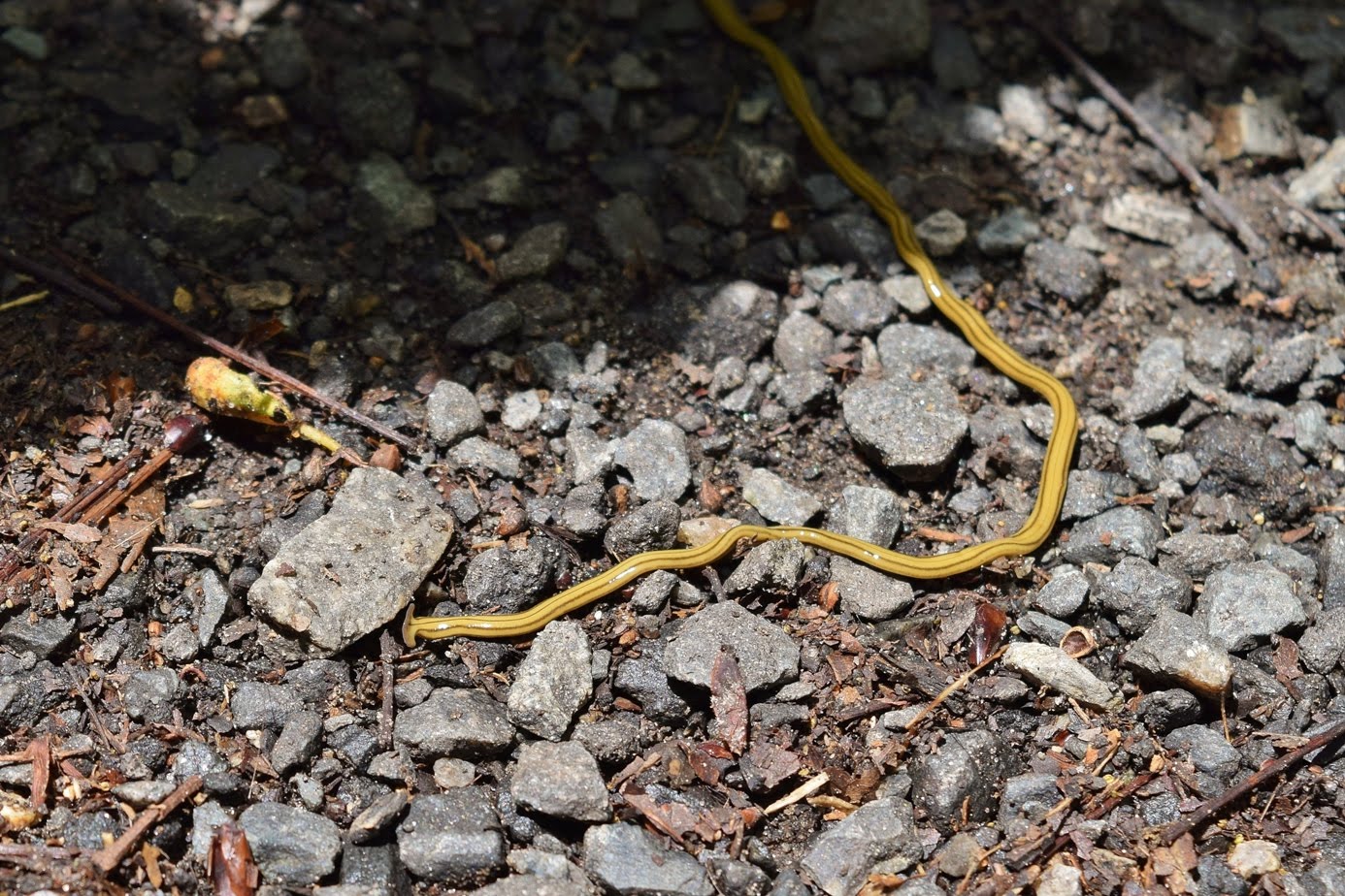
Further on, the trail crossed Park Road and led through an area which had recently had a prescribed burn - the ground was scorched and a faint smell of wood smoke lingered in the air. In about 4 miles from the start, a spur trail leading to the summit of Brown Mountain split off. We had such a long hike ahead of us, we decided to pass on this. Continuing on the trail passed Garner Branch backcountry campsite and soon returned to Kings Mountain State Park. The path was more overgrown through this section. When we reached another backcountry campsite, we stopped for lunch, but didn't rest for too long as we still had another 8 miles or so to go. We saw a good size black snake along the trail at one point.

With the high water, a couple of the tributaries were swollen and difficult to cross. After the most difficult crossing, we saw a little box turtle scurry off the trail to the safety of the dense vegetation.

There were a few more tributary crossings and then we crossed Long Branch, but it was not too hard getting across.

Near here, a little spider was perched on a flower, watching us pass on the trail.

Up from here, the trail reached Apple Road at the intersection with the bridle trail. We were tired at this point and just walked the road back to camp to finish up our hike. There was some horsenettle flowering along the road.

Back at camp, Carol had gotten some cold beer and it was quite delicious after a long hike.
On the way out of the park, we made a quick stop at the Living History Farm.

There were a number of historic old farm buildings here.

The cotton gin was quite impressive.

A chicken coop had two chickens and a noisy rooster, but we didn't have any change to get them some food.

At the far end were the horses and a donkey. They were very friendly and came over to the fence to say hi.

The donkey seemed particularly itchy and started rolling in the grass.

After some pictures, we headed back. Despite the forecast, we managed to beat the rain all day, though it did rain some on the drive home. We ate at El Patron in Salisbury and then finished the drive back to Chapel Hill.

Right after this, we crossed into the national park. In about two miles, we passed a spur that led to the military park where the Military through the Ages had been going on. We didn't hear any gunshots though. There were some really pretty Nuttall's sensitive briers blooming along the trail.

Further on, the trail crossed Park Road and led through an area which had recently had a prescribed burn - the ground was scorched and a faint smell of wood smoke lingered in the air. In about 4 miles from the start, a spur trail leading to the summit of Brown Mountain split off. We had such a long hike ahead of us, we decided to pass on this. Continuing on the trail passed Garner Branch backcountry campsite and soon returned to Kings Mountain State Park. The path was more overgrown through this section. When we reached another backcountry campsite, we stopped for lunch, but didn't rest for too long as we still had another 8 miles or so to go. We saw a good size black snake along the trail at one point.

With the high water, a couple of the tributaries were swollen and difficult to cross. After the most difficult crossing, we saw a little box turtle scurry off the trail to the safety of the dense vegetation.

There were a few more tributary crossings and then we crossed Long Branch, but it was not too hard getting across.

Near here, a little spider was perched on a flower, watching us pass on the trail.

Up from here, the trail reached Apple Road at the intersection with the bridle trail. We were tired at this point and just walked the road back to camp to finish up our hike. There was some horsenettle flowering along the road.

Back at camp, Carol had gotten some cold beer and it was quite delicious after a long hike.

On the way out of the park, we made a quick stop at the Living History Farm.

There were a number of historic old farm buildings here.

The cotton gin was quite impressive.

A chicken coop had two chickens and a noisy rooster, but we didn't have any change to get them some food.

At the far end were the horses and a donkey. They were very friendly and came over to the fence to say hi.

The donkey seemed particularly itchy and started rolling in the grass.

After some pictures, we headed back. Despite the forecast, we managed to beat the rain all day, though it did rain some on the drive home. We ate at El Patron in Salisbury and then finished the drive back to Chapel Hill.