Sunday, December 21, 2014

Congaree Holiday Trip

This past Sunday on the Winter Solstice, we headed down to South Carolina for a holiday trip to Congaree National Park. Since it’s pretty much a great big swamp, winter is definitely the best time to visit. Today, the mosquito meter at the visitor center was 1 - All Clear; I would not want to visit when it’s at 6 - War Zone!


We left Raleigh around 7 and made it to the park around 10:30 and soon got started on our hike. Behind the visitor center, we got on the boardwalk trail and turned left at the first intersection to hike the boardwalk loop in the clockwise direction. Due to an ice storm last year, part of the elevated boardwalk was closed so we turned right onto Sims Trail south through the forest. This trail is not blazed, but runs along an old gravel road and was easy to follow. At the south end of the trail, there were some beautiful sloughs with water tupelo and bald cypress.


Though you wouldn't know from looking at it, this area is actually not a swamp, because it's not always flooded. When the Congaree River floods, the area is inundated with water, but eventually, it flows back out to the river through small guts as the water level of the river goes down. Past the sloughs, we turned left on the boardwalk and followed it to the end at the closed Elevated Boardwalk Trail.


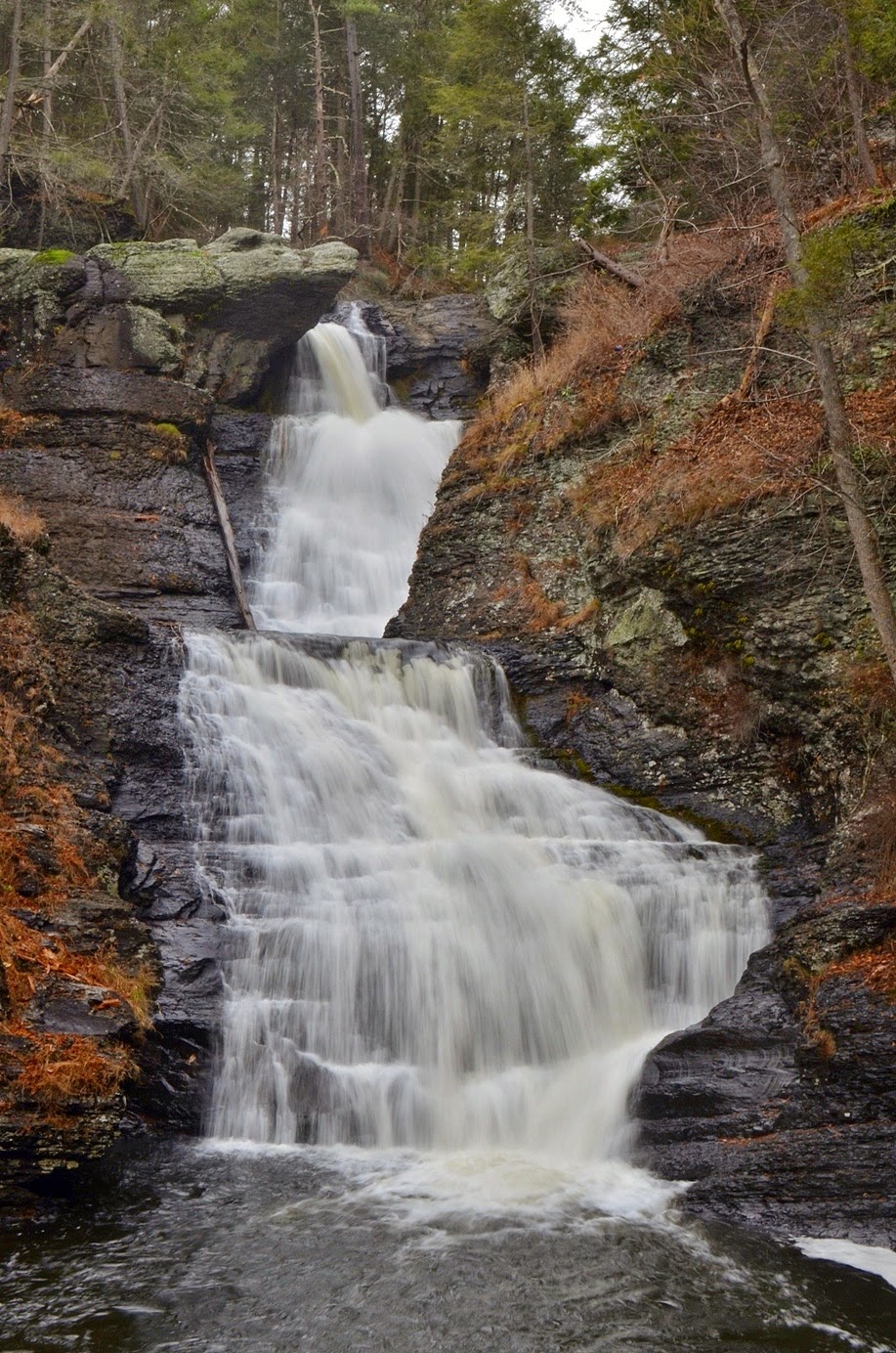
Although most of the elevated boardwalk was closed, a short section that leads to an overlook on Weston Lake was still open, so we were able to go out there for views of the oxbow lake.


There was Spanish moss hanging from trees along the shore making for a beautiful scene. From here, we got on Weston Lake Loop Trail and hiked along the edge of Weston Lake and through more sloughs and even saw some dwarf palmetto growing along the trail.


It seemed strange to see palms in the winter! We crossed one footbridge at the end of Weston Lake Loop Trail and on the next, turned right to get on Oakridge Trail, heading deeper into the forest. This trail runs between Cedar Creek and Congaree River with many small guts for floodwaters to drain back into the river.


There were several footbridges only this trail, and at the second, we stopped for quick lunch and then continued on. In about a mile, we came to the next footbridge and turned left to get on River Trail. Shortly after getting on this trail, we met up with John and some friends who had camped here the night before. There were very few other people in the park and yet we managed to run into our friends deep in the woods. John took us on a quick detour off the trail to see where they had camped - and a champion cherrybark oak.


It was a really big tree. John had a measuring tape and we measured the circumference to be 25 feet 4 inches at approximately four feet off the ground.


We got some pictures with the champion, then headed back to the trail. John and his group were heading back, so we said good-bye, and continued on the River Trail. In about a mile, the trail split to form a loop and we headed left, eventually reaching Congaree River. There were a few places to head out to the bank for a view of the river, but the best spot was about 2 miles from the split, where we were able to go out onto the sandbar in the river.


The water level was low enough that we were able to go out into the river, nearly to the middle on the sandbar. After a few minutes here, we started heading back as it was getting late and the sun would be setting soon.


At the start of River Trail, we crossed the footbridge and finished Oakridge Trail at Wise Lake. We then followed Weston Lake Loop Trail back to the boardwalk. Along the way, we saw a couple feral pigs just off the trail. It looked like a mother and two piglets, though they were difficult to see amidst the vegetation.


Then we got back on the boardwalk and finished our hike up back at the visitor center, enjoying one last walk through the beautiful sloughs of bald cypress and water tupelo. Leaving the park, we headed into Sumter and had Mexican for dinner at Yucatan. Unfortunately, they don’t serve alcohol on Sundays so no beer with our fajitas.


Then we went to Swan Lake & Iris Gardens for the Fantasy of Lights.


The display included more than a million Christmas lights.


We walked around here for a while getting pictures of the lights before heading home.

Saturday, December 13, 2014

Rod's Umstead Ruins Hike 2014

Saturday was Rod’s annual Umstead Ruins Hike in William B. Umstead State Park. We started from the Reedy Creek entrance and Rod gave us a little history of the park before we set off on Company Mill Trail. We stopped in about a half-mile at a big pile of rocks right alongside the trail. These piles were made of rocks cleared from the land for farming.


A lot of the labor came from children who moved rocks after school. Farming was difficult in the rocky land and everyone needed to help out. The poor soil for farming was one of the reasons that the federal government purchased the land to convert into a park.


From here, we continued on the trail to the ruins of the Company Mill, where we met Joe Grissom and his son. Joe was born and lived in what is now the park until age 8 when the federal government purchased the land as part of the New Deal. Company Mill was built in 1810 and was used to mill wheat and corn. Originally called Page Mill, it became a center of social activity for the community. The mill was washed out in a flood and all that remains are the ruins of the dam and the millstone. The millstone was discovered in the river and lifted out by helicopter. A helicopter was also used to place the footbridge over Crabtree Creek right upstream. Next, we got off trail and headed up a short ways to old magazine that was used to store explosives.


The thick stone walls would absorb much of the blast if they were to accidentally detonate. From here, we headed to the old homestead where Joe was born and lived the first eight years of his life. There wasn’t much left of the homestead, but we could see an old, dying walnut tree near where his house had been. He used to eat walnuts as a boy. When the tree was healthy, it secreted juglone to poison other trees and the land around it was clear. Now, the tree was dying and plants were growing in around it. Our next stop was Camp Craggy, an old boy scout camp.


Next to the camp was a pond that served as a local swimming hole, even having a diving platform. Joe told us how the camp was used for recreation by the community when scouts weren’t camping there. We also saw a ceremonial stone circle with openings in the cardinal directions. From here, we continued on the old road to another homesite with the remains of an old car.


In years past, we had seen an old Champion spark plugs sign at this site. Rod said it was missing when he was here recently, but when we arrived at the site, it was back. Next we headed to the ruins of an old tobacco barn.


All that was left were the stone pits where fire would cure the tobacco. Joe remembered the barn from his childhood - it was only up one year before it burned down. Curing tobacco required careful monitoring of the temperature or it would catch fire. From here, we continued to Reedy Creek Multi-Use Trail and turned right, going a short ways then heading back into the woods to see the ruins at the Teal homesite.


Only the remains of the of the walls were still here and a tree had recently crashed down on those. The Teals had the only home in the community with a basement. Mrs. Teal was an older lady and as children, Joe and his sister thought she might be a witch. One day after school, she summoned the children and offered them some apple pie and milk. After that, Joe and his sister changed their minds and thought she was a nice lady. We then crossed back across Reedy Creek Trail and headed back in the woods to the see the big pluton rock, which looks out of place in the middle of the woods.


Then, we headed back to the multi-use trail and continued to Company Mill Trail and stopped at a pile of rocks that was another old homesite. We followed Company Mill Trail to the bridge over Sycamore Creek on Graylyn Trail and stopped here from lunch. After lunch, we continued up Graylyn Trail along the power lines and ducked into the woods on the left at the big pine tree. There were many glass bottles on the ground here, so we had to watch our footing. Rod brought us to the ruins of the log cabin theater. It was built by Genevieve Woodson, a local schoolteacher and had attracted the attention of folks at UNC in Chapel Hill. We then crossed Graylyn Trail and went through the power line clearing to another old homesite. This one looked more like junk than historical like the others. And the stuff looked too new to have dated from before the park’s creation. This area is one that was more recently added to the park. We bushwhacked through the woods a little further and came to another homesite in which the most of the ruins had been crushed by fallen tree.


Although the home was barely visible under the fallen tree, there were some interesting old artifacts here, including a wheel, a lawnmower, a tank, and part of a tractor.


From here, we bushwhacked north a bit and stopped at an old cemetery with some barbed wire around the plot. Rod pointed out that this was a poor family’s cemetery with small grave markers and little upkeep. Then we continued to Graylyn Trail and stopped at the King cemetery - the rich family’s cemetery. With nice gravestones and a well-manicured plot, it was easy to see the difference in affluence. At this point, we turned around and started heading back on Graylyn Trail. Near the power lines, we headed into the woods along an old road and came to another magazine, this one made of brick, on a ridgeline above Sycamore Creek and Trail.


Then we hiked the rest of Graylyn Trail and found another homesite right at the intersection with Reedy Creek Trail. Then we headed south on Reedy Creek Trail to Cedar Ridge and headed into the woods here to see the ruins of the CCC Headquarters. The CCC were responsible for the labor involved in constructing the roads, dams, trails, shelters, and other facilities in the park during the New Deal era. Finally, we continued on Reedy Creek Trail to one more site. The old Camp Crabtree was just off the trail to the east before crossing Crabtree Creek. This camp was originally built for workers constructing the park, but was mostly abandoned when the US entered World War II. British sailors, while their ships were undergoing repair in the Norfolk area used the camp during the war. There are a couple of old foundations here as well as a big water tank.


After that, we got back on the trail and headed back to the parking lot after a very enjoyable and informative hike.


Friday, November 28, 2014

Devil's Marbleyard

Sandy had to be back at work on Saturday, so we left Pennsylvania Friday morning. Given holiday traffic, we decided to avoid I-95 and take I-81 south instead. It would add a little distance but potentially save a lot of hassle if I-95 was backed up. We stopped for breakfast at Dunkin Donuts before hitting the road. Although there was much snow in the ground still in Pennsylvania and northern Virginia, as we headed further south, it got lighter and lighter and soon was only visible high up on mountain peaks. Near Natural Bridge, we got off the highway and headed towards the James River Face Wilderness in Jefferson National Forest. We were planning a hike to Devil’s Marbleyard to break up the long drive. The small parking area for Belfast Trail was full so we had to park a little further down the road and hike back to the trailhead. It was a little over a mile heading upstream along Belfast Creek to Devil’s Marbleyard. Although there was no snow on the ground when we started, there was quite a bit by the time we reached the boulder field.


Fortunately, the exposed boulders had received enough sunlight that there was no snow here.


We got off the trail and scrambled around on the rocks for a few minutes before making our way back. Along the hike up, the elevation gain had kept us warm. But once out on the exposed rocks, it was quite chilly with the wind blowing.


Once we got too cold, we started making our way back and finished up the drive home.

Thursday, November 27, 2014

Peace Valley

Thursday was Thanksgiving and by now, the snow had ended. The roads were cleared so in the morning, Sandy and I headed to Peace Valley for a walk around Lake Galena. We parked at the Peace Valley Nature Center and started walking the hike/bike path around the lake. It was a chilly morning, but the sky was clear and the views of the lake were great.


We saw large numbers of Canada geese flying through the air and floating across the lake. Despite the snow and holiday, there were quite a few other people on the trail this morning. When we finished up the loop back at the nature center, we hiked along a few of the nature trails. Unlike the main trail around the lake, there was no one else on these trails.


No people at least. We did see some deer, including a fawn with her mother.


After a nice hike and working up an appetite, we headed back and had a big Thanksgiving dinner. We would be heading home in the morning, so we started packing our stuff up in the morning.

Tuesday, November 25, 2014

Delaware Water Gap

Tuesday morning, we woke up very early and headed out well before sunrise. So early in fact, that nowhere was open for us to get breakfast. Around 630, we stopped at a Panera in Easton for a quick breakfast, then continued heading north to the Delaware Water Gap National Recreation Area. From I-80, we went north on US-209 through the water gap for about 20 miles to Raymondskill Road and parked at the trailhead for the falls. Raymondskill Falls consists of three tiers and combined, form the highest waterfall in Pennsylvania. We hiked the short trails to see the different tiers, starting at the upper falls, which is a cascade before the big drop.


We could see the top of the main drop and tell it was a big one, but needed to go down for a good view.


So we headed down the wooden boardwalks for views of the middle drop. It was quite impressive and we spent a while enjoying the view.


Right past here is the lower drop, but there weren’t very good views of it, so we hiked around to see the lower drop.


It was partially obscured by trees, but still a powerful falls and worth a closer look. Next to the lower section was a thin horsetail falls cascading down. I imagine this little falls wouldn’t exist in dry conditions. From here, we hiked back to the parking area, but wanted to get another waterfall before we took off. We crossed the street and turned left to get on the yellow-blazed Hackers Trail and followed it for about a mile to Hackers Falls. Shortly before we reached the waterfall, we could hear water crashing and followed a path to the creek, but this was just a long slide, not the waterfall. So we continued just a short ways and could soon see the waterfall from the trail.


With the foliage down, it was easy to see from a distance. We got off the trail and scrambled out on the rocks for a view of this waterfall.


Although not particularly big, it was a very scenic waterfall and worth the short hike from Raymondskill. About half way back, we got on the yellow-and-white-blazed Logger Path to make a loop back to the parking area. We turned right on Cliff Trail and made a short stop at the Tri-State Overlook.


A break in the trees provided nice views of the Delaware River below, and based on the name, I assume we could see into Pennsylvania, New Jersey, and New York. After a brief stop, we followed the trail back to the parking area. We had planned on stopping at Dingmans Falls next, but the road was closed. Winter in Pennsylvania means a lot is closed. We had really wanted to visit Ricketts Glen, but that had closed a few weeks before. Although privately-owned, nearby Bushkill Falls was still open, so that was our next destination. After arriving, we paid admission to the falls...at $12.50 per person, it was a little expensive. But we really wanted to get this waterfall, and there are actually quite a few in a short walk around the property. A big winter storm was in the forecast, so we were fortunate to make it before they closed for the season. Talking to the lady who sold us our tickets, she suspected that this would be the last day the falls were open. And with few other visitors, we mostly had the area to ourselves. We hiked along the Red Trail, the longest trail in the park. At only two miles, it wouldn't be much of a challenge, but we would hit all the waterfalls. Starting out we turned right, following the trail upstream along Little Bushkill Creek. Shortly, we reached the first waterfall - Pennell Falls, a small cascading waterfall.


We crossed the bridge over the creek below the falls and continued through the woods to the next intersection. Continuing straight, we stayed on the Red Trail, crossing Pond Run Creek and then heading downstream along a series of steps and wooden overlooks. There are three waterfalls right in a row here.


First was Upper Bridesmaid’s Falls, a two-tiered waterfall partially tucked away in the gorge. Bridal Veil Falls, the largest of the three, is a nice cascading waterfall, 28 feet high.


And right below that is Lower Bridesmaid’s Falls, probably the smallest of the three, but very pretty with a freefall followed by a cascade.


After stopping for some pictures at each we continued on the trail and crossed back over the creek at the confluence of Little Bushkill and Pond Run Creeks.


We hiked up the gorge passing Lower Gorge Falls and then made it to the base of the main Falls.


Bushkill Falls is a nearly 100-foot cascading waterfall and was quite impressive.


We got some pictures from the bridge over the base of the falls and then climbed up to get some from the top.


We finished up our hike through the Upper Canyon above the main falls and then headed back to the car. It was past lunch time and we only had a few more hours of daylight left, so we wanted to make it count. So we headed to George W. Childs Park, once a Pennsylvania State Park, but now a recreation area in the water gap. We parked here and had a picnic lunch, then headed out for a hike. There are three waterfalls along Dingmans creek in this area. From the parking area, we hiked down the trail and passed the top of Factory Falls, though we couldn’t see much from here.


Then, we came out near the top of Fulmer Falls. I climbed out on a rock outcrop close to the top of the falls, though we couldn’t see the whole thing.


We found a bridge to cross to the other side of the creek, but the only place to see all of Fulmer Falls was along the trail through a break in the trees.


Scrambling down to the base would be rather tricky and we didn’t have a lot of time, so I didn’t try anything crazy.


We did head upstream a bit for a better view of Factory Falls, which was a pretty cool waterfall.


Then we continued downstream to see Deer Leap Falls, the last one in the area. At this one, the water flows through a narrow chute, crashing down on a rock at the base.


This was the last waterfall in the area, but I had a plan for one more. We were on Dingmans Creek just a mile or so upstream of Dingmans Falls. The road to the falls was closed, but perhaps we could just follow the creek downstream. We crossed the creek once again on the bridge below Deer Leap Falls and found a faint path following the creek downstream. We got on this and hiked about a half-mile to cross Milford Road and then continued downstream. After the road crossing, the path was very easy to follow and in about another mile, we came out at the top of Dingmans Falls. At about 130 feet high, this is a tall waterfall. And that meant a lot of stairs to go down to reach the base. But the waterfall was spectacular, my favorite of our trip.


And apparently we weren’t the only who got creative in finding a way in as we saw one other couple at the falls. We climbed down to the base and got some pictures then continued on just a short ways to Silverthread Falls. This waterfall is about 80 feet high and very thin, plunging down in two tiers through a narrow crack in the shale.


After we got some pictures, we started making our way back. Climbing the stairs to the top of Dingmans Falls was the most difficult part and once back on the unofficial trail, the going was pretty easy. We made it back to the car and then started making the drive back to Doylestown.