
Estimated Time: 1 hour
Difficulty: Easy to Difficult
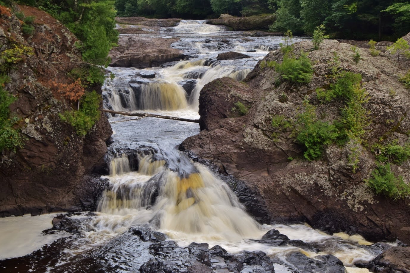
Location: Potato River Falls Park
Trail Users: Hiking only
Dogs: Yes
Features: Waterfalls (2)
Crowds: Moderate
Warnings: The rocks are around waterfalls are very slippery. Getting to the base of Lower Falls would require wading the river.
Trailhead GPS: 46.46333,-90.52960
Waterfall GPS: 46.46106,-90.52907 (Upper Falls), 46.46190,-90.53052 (Lower Falls)
Directions:
From Ashland, head on US-2 for about 30 miles and turn right on WI-169 south. Go 2.8 miles and turn right on gravel Falls Road. Drive 1.5 miles to the end at a parking area.
Map:

Hike Description:
Two trails from the parking lot lead to the two waterfalls. Starting with the Upper Falls, follow the trail at the south end of the parking area down to an overlook of the Upper Falls.
There are obvious paths that lead down to river level to see the lower portion of the falls.

Looking downstream is a view of the brink of the Lower Falls.

Return to the parking area and follow the other trail to an overlook for the Lower Falls. There are paths down to river level but to reach the base, it is necessary to wade the river.

Blog Entries:
25-Aug-2020: Pictured Rocks
External Links:
Iron County Forestry & Parks website: https://www.ironcountyforest.org/waterfalls---rustic-camping.html
No comments:
Post a Comment